
What is recorded here
In NW corner of a modern rectangular pasture field, located on gently elevated ground in undulating fertile limestone terrain. Views are good not extensive to S.
This enclosure, which was levelled at an unknown date in the past, is not shown on any edition of the OS 6-inch maps; it is visible in satellite aerial imagery and Lidar imagery.
A circular area (38m N−S; 40.5m E−W) is barely discernible at ground level, defined on the perimeter by a low rise/undulation, representing a levelled bank. The W arc is overlain by a field wall, which preserves the curve of the enclosure. The interior is level and featureless, with a slight slope down from centre to S. There is a mound (MA121-126----) 100m to W.
Attached images:
MA121-200----_01.JPG Viewed from ESE
MA121-200----_02.JPG Viewed from S
Compiled by: Jane O’Shaughnessy
Date of upload: 22 June 2022
A local fairy fort (ringfort/rath); wider significance not recorded.
The monument record does not grant public access. Check the route and ask the landowner before entering private land.
- What survives
- Recorded monument
Places near here
 Abbey in ruinsReligious house, Franciscan Third Order Regular · 644 yd
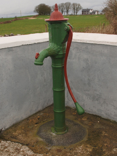 water pumpwater pump · 1048 yd
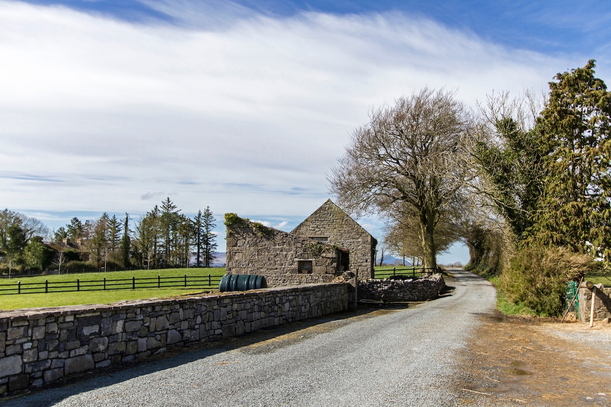 Enclosure in Hundred AcresEnclosure · 1300 yd
 Castle in ruinsCastle, tower house · 1721 yd
 IndicatedEnclosure · 1.0 mi
 Cregg PlantationForest · 1.5 mi
 Mocorha CastleCastle · 1.7 mi
 Pesooge PlantationForest · 2.1 mi
 Ross Errilly FriaryHeritage attraction · 4.3 mi
 Gibbs IslandsIslet · 4.8 mi
 Red Island RockIslet · 5.3 mi
 School of FalconryHeritage attraction · 7.1 mi
Other information
Photo: Credit not shown in the picture search · Rights wording not checked; contact us if this picture should be removed