What is recorded here
Merryfalls hides a thirty-metre circular enclosure beneath modern development, its U-shaped ditch barely half a metre deep but wide enough to mark a severe boundary. The shape matches an early medieval ringfort, suggesting people once lived inside that simple circle before human activity cut most of it away. It is not a grand castle or a clear ruin, but a shallow wound in the earth that still points to a lost neighbourhood.
This monument was identified from geophysical survey (Licence no. 09R195) and confirmed by test excavation (Licence no. 10E0459) as part of the proposed Metro West development. It is a circular enclosure (30m diam.) characterised by a U-shaped ditch (1.1m-2.2m wide by 0.45m deep). Although undated its form, size and shape are consistent with that of a severely truncated early medieval ringfort (O’Donovan 2010, 16).
See attached Google Earth orthoimage and Apple Maps orthoimage
Compiled by: Christine Baker
Revised by: Caimin O'Brien
Date of revised upload: 22 December 2022
The monument record does not grant public access. Check the route and ask the landowner before entering private land.
- What survives
- Recorded monument
Places near here
 Earthwork in MerryfallsEarthwork · 82 yd
 Field system in SillogeField system · 328 yd
 Horizon Logistics ParkVisitor information · 660 yd
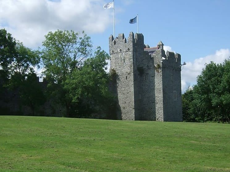 Dubber Castle (site of)Castle, unclassified · 1209 yd
 Castle (site of)Castle, unclassified · 1327 yd
 The Old Red LionInn · 1722 yd
 The MoundViewpoint · 1.3 mi
 Liam Ó MaoilíosaMemorial · 1.7 mi
 Richard McKeeMemorial · 2.0 mi
 BaldcypressBaldcypress · 2.9 mi
 Dawn RedwoodDawn Redwood · 2.9 mi