What is recorded here
The Down Survey (1655-6) map shows a dwelling near where Harristown House was located. Described in the Civil survey (1654-6) as the 'ruins of old walls of stone' (Simington 1945, 210). Harristown House probably occupied the site. Now the site is part of the runway at Dublin Airport. Not visible at ground level.
Compiled by: Geraldine Stout
Date of upload: 26 August 2011
The monument record does not grant public access. Check the route and ask the landowner before entering private land.
- What survives
- Recorded monument
Places near here
 Enclosure in HarristownEnclosure · 215 yd
 Horizon Logistics ParkVisitor information · 240 yd
 Earthwork in MerryfallsEarthwork · 810 yd
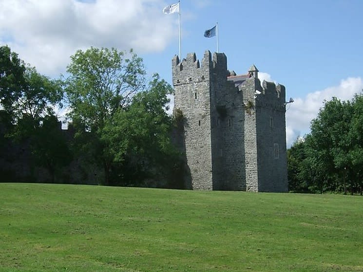 Dubber Castle (site of)Castle, unclassified · 1278 yd
 St. Margarets Church (in ruins)Church · 1503 yd
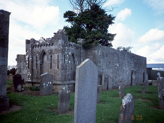 graveyard/cemeterygraveyard/cemetery · 1506 yd
 Castle (site of)Castle, unclassified · 1.1 mi
 The MoundViewpoint · 1.5 mi
 Liam Ó MaoilíosaMemorial · 2.0 mi
 Richard McKeeMemorial · 2.4 mi
 The JackoWood · 3.1 mi
 BaldcypressBaldcypress · 3.4 mi
Other information
Photo: Credit not shown in the picture search · Rights wording not checked; contact us if this picture should be removed