What is recorded here
In level area of improved pasture,at base of gentle W-facing slope, overlooking a precipice edge to W. Subtle traces of a semi-circular area (dims. 28m N-S; c. 15m E-W) defined by remains of levelled scarp (Wth 1.9m; H 0.1m) and traces of fosse (overall Wth 5.3; basal Wth 2m; D 0.05m) NW-ENE. Remainder of monument levelled out and it is all incorporated into field as pasture.
Compiled by: Jean Farrelly
Date of upload: 26 August 2011
The monument record does not grant public access. Check the route and ask the landowner before entering private land.
- What survives
- Recorded monument
Places near here
 Cliff-edge fort in Mantlehill GreatCliff-edge fort · 292 yd
 IndicatedCliff-edge fort · 367 yd
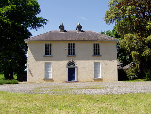 Springmount Househouse · 527 yd
 RoadRoad, road/trackway · 873 yd
 CastleHouse, fortified house · 1034 yd
 Bawn in CastleparkBawn · 1234 yd
 Athassel PrioryHeritage attraction · 1.9 mi
 Hore AbbeyHeritage attraction · 3.7 mi
 Dundrum Woods (Marl Bog)Forest · 4.5 mi
 Maudemount BogWood · 5.1 mi
 I.R.A. 3rd. Tipperary Brigade MemorialMemorial · 7.1 mi
 The Maid of ErinMemorial · 7.9 mi