
What is recorded here
In reclaimed grassland. Outline of circular-shaped area (approx. diam. 30m) defined by a fosse visible on OSi orthophoto.
Compiled by: Caimin O'Brien
Date of upload: 24 June 2020
A local fairy fort (ringfort/rath); wider significance not recorded.
The monument record does not grant public access. Check the route and ask the landowner before entering private land.
- What survives
- Recorded monument
Places near here
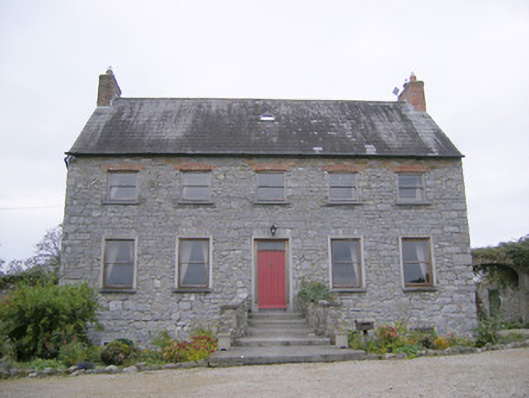 Tory Hill Housecountry house · 894 yd
 IndicatedEnclosure · 965 yd
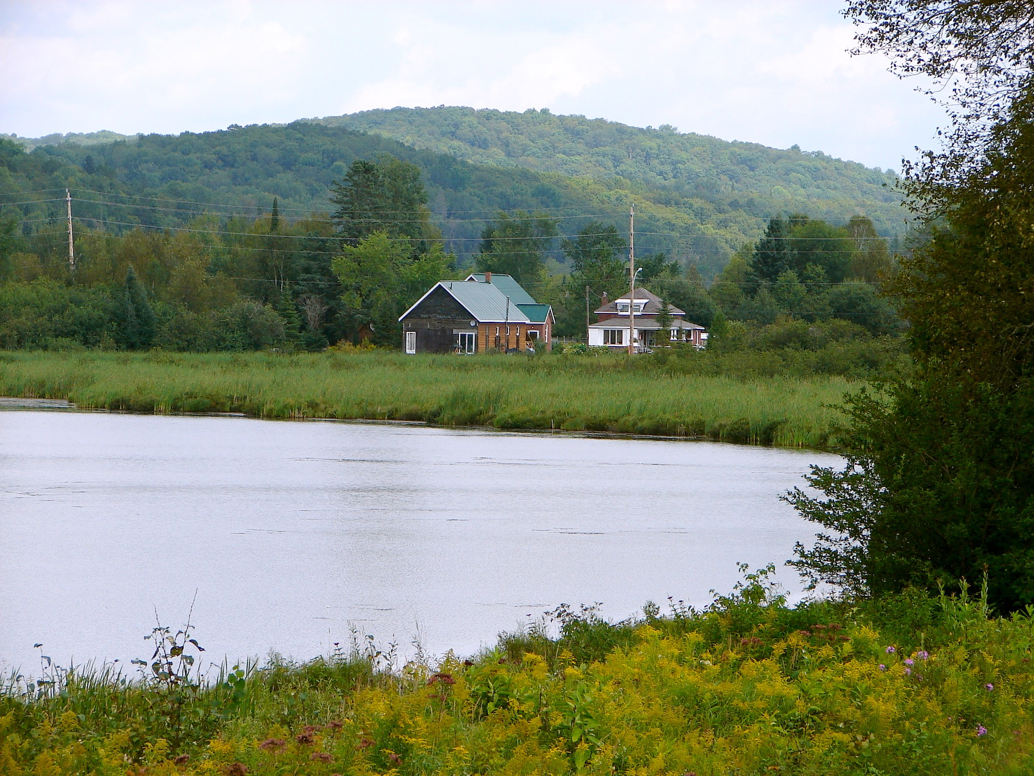 Tory HillHillfort · 1075 yd
 Killeenoghty Church (in ruins)Church · 1362 yd
 Biodiversity in the Maigue CatchmentVisitor information · 1.4 mi
 CastleCastle, Anglo-Norman masonry castle · 1.6 mi
 Fanningstown Castle (in ruins)Castle, tower house · 1.6 mi
 European ashEuropean ash · 1.8 mi
 Dysert AenghusaHeritage attraction · 2.1 mi
 Monasteranenagh AbbeyHeritage attraction · 2.3 mi
 GinkgoGinkgo · 3.5 mi
 Villiers WellSpring · 3.6 mi
Other information
Photo: Credit not shown in the picture search · Rights wording not checked; contact us if this picture should be removed