What is recorded here
Situated on the slight E-facing slope of a low hillock in undulating countryside with good views in all directions. A circular area (diam c. 60m N-S) enclosed by an earth and stone bank (Wth 1.5m; int. H 0.85m; ext. H 0.7m) which only survives from N through E to S in the form of a field boundary - elsewhere it is reduced to a low scarp. No trace of a fosse or entrance feature. Vol. 1 - North Tipperary' compiled by Jean Farrelly and Caimin O'Brien (Dublin: Stationery Office, 2002).
From the National Monuments Service (Archaeological Survey of Ireland) record TN004-017
The monument record does not grant public access. Check the route and ask the landowner before entering private land.
- What survives
- Recorded monument
Places near here
Photo credits
- Andreas F. Borchert, Wikimedia Commons · CC BY-SA 4.0
- Jonathan Thacker, Geograph · Creative Commons Attribution-ShareAlike 2.0
- dougf, Geograph · CC BY-SA 2.0
- Jonathan Thacker, Geograph · CC BY-SA 2.0
- Willow, Wikimedia Commons · CC BY 2.5
- National Inventory of Architectural Heritage
- Maker named on the Wikimedia Commons picture page · Public domain
- Jason Keane, Geograph · CC BY-SA 2.0
- Derek Ryan Bawn, Wikimedia Commons · CC BY-SA 4.0
 Franciscan Abbey (in ruins)Religious house, Dominican friars · 657 yd
 Saint Ruadhan's Catholic ChurchChurch/chapel · 661 ydEnclosure in Annagh (lorrha Par.)Enclosure · 779 yd
 Ballyquirk CastleCastle · 1.1 miSlevoir BayBay · 2.2 mi
 Lackeen Castle (in Ruins)Bawn · 2.4 mi
 European ash3.1 mi
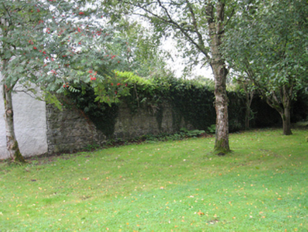 Portumna CastleWalled garden · 3.5 mi
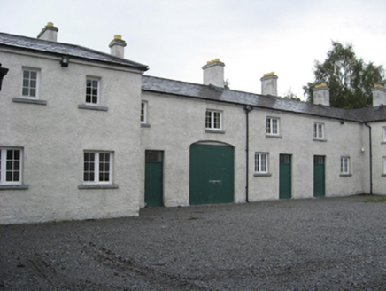 Portumna CastleStables · 3.6 mi
 Black mulberry3.7 mi
 Church IslandIslet · 4.8 mi
 BarrowBarrow, mound barrow · 5.5 mi
More archaeology and monuments in County Tipperary · All of County Tipperary
What do you know about this place?