What is recorded here
In undulating pasture, possible ringfort site (LI016-021----) lies 85m to SE. Not depicted on OS historic maps. Identified by the ASI in 2003 as a circular-shaped feature visible on aerial photography (ASIAP 354, 20). Monument visible as a circular-shaped cropmark (40m E-W; 38m N-S) abutting a field boundary to SE on Digital Globe orthophotos taken 2011-13 and on Google Earth orthoimages taken 18/11/2018.
See attached Google Earth orthoimages
Compiled by: Alison McQueen and Vera Rahilly
Date of upload: 13 July 2020
The monument record does not grant public access. Check the route and ask the landowner before entering private land.
- What survives
- Recorded monument
Places near here
 Partially hachuredFairy fort / earthen ringfort · 379 yd
 Toomalinehouse · 860 yd
 IndicatedFairy fort / earthen ringfort · 952 yd
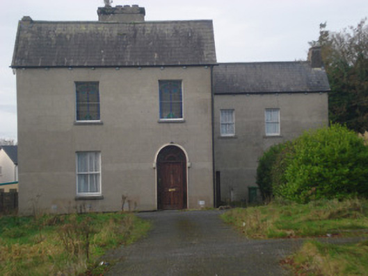 Saint Fintan's Monasterymonastery · 1.1 mi
 GortnageraghMountain / peak · 1.1 mi
 Site of CastleCastle, unclassified · 1.8 mi
 Coonagh CastleCastle · 2.3 mi
 Green Field ParkWood · 3.8 mi
 TooreenMountain / peak · 5.0 mi
 ToberagaddySpring · 5.4 mi
 Slieve Felim WayWalking route · 6.3 mi
 Graveyard in AbingtonGraveyard · 8.7 mi