What is recorded here
Located on a ridge, with a stream 150m to N. Indicated on the 1838 OS 6-inch map as a rectangular enclosure bisected centrally on an E−W axis by a road leading to cluster of vernacular houses immediately to SW; shown on the 1931 edition as a subcircular enclosure, hachured on the N arc, bisected by the road.…
Read the whole record
From the National Monuments Service (Archaeological Survey of Ireland) record MA071-046
Places near here
Photo credits
- National Inventory of Architectural Heritage
- Swinford GAA; the page thanks Michael Maye, Rita Campbell and Fiona McDonagh, without assigning the panoramic image to one maker, swinfordgaa.ie
- Golfing in Ireland; photographer not stated, Source publisher
- Maker not stated on source page, www.dreamstime.com
- Maker not stated on source page, www.pinterest.com
- The Carlisle Kid, Wikimedia Commons · CC BY-SA 2.0
 bridge580 yd
Explorer Tom Bridge in Ballinvoher is annoyed at the new road nearby. It thinks it should be the star of the show. The 'Burma Road'…
 Lislackagh National SchoolSchool · 791 yd
Explorer Tom Lislackagh National School in Lislackagh is dilapidated but still holding its shape like a proud old soldier. It’s a…
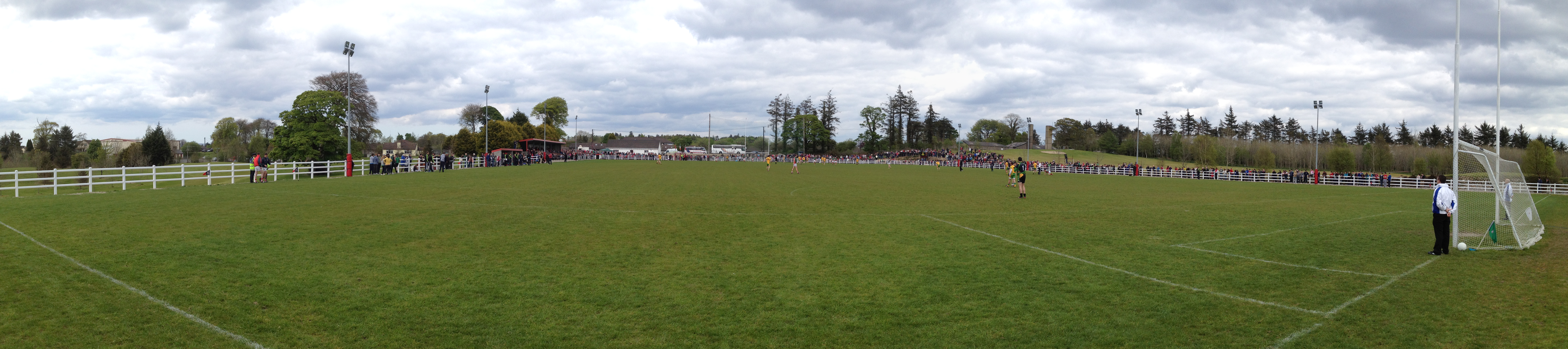 Robert McCallion Memorial Park, Swinford GAAGAA ground · 1.5 mi
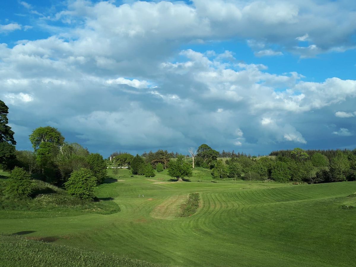 Swinford Golf ClubGolf course · 1.6 mi
 Church (in Ruins)Church · 1.6 mi
Explorer Tom Church in Kinaff smells like old wet socks and forgotten promises, according to my very scientific nose. It sits in the…
 Standing stone in Brackloon (gallen By.)Standing stone · 1.6 mi
Explorer Tom Standing stone in Brackloon is leaning so far over it’s practically napping on the hillside. I reckon it dodged the…
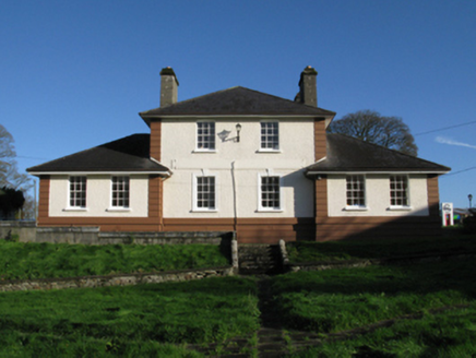 Kiltimagh Cottage HospitalHospital/infirmary · 4.6 mi
Explorer Tom Kiltimagh Cottage Hospital has a legend about a tunnel to the pub so patients could sneak out for pints. It was…
 Maghus Castle and Tir na nÓg PlaygroundChildren's playground · 4.8 mi
Explorer Tom Maghus Castle and Tir na nÓg Playground in County Mayo would order double chips and a mystery sauce at the chipper.…
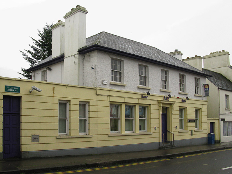 Allied Irish BankBank/financial institution · 4.8 mi
Explorer Tom Allied Irish Bank in Kiltamagh is dressed up like a Georgian gentleman but it’s basically just holding money for people…
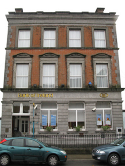 Bank of IrelandBank/financial institution · 4.9 mi
Explorer Tom Bank of Ireland in Kiltamagh would get ‘Here Lies Money’ on its tombstone because it’s seen too many bad investments…
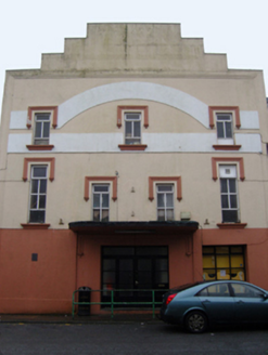 Savoy CinemaCinema · 5.0 mi
Explorer Tom Savoy Cinema in Cordarragh claims there’s a secret tunnel from the back row straight to the local pub for late-night…
 Kiltimagh Railway StationStore/warehouse · 5.0 mi
Explorer Tom Kiltimagh Railway Station has a goods shed that once had a fox take full charge of the operations, and honestly, it ran…
More archaeology and monuments in County Mayo · All of County Mayo

What do you know about this place?Tap to add a comment or ask a question