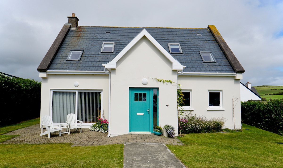
What is recorded here
In pasture. Aerial photograph (Dr. D.D.C. Pochin Mould) shows lighter coloured roughly oval area surrounding irregular bank of darker grass. No visible surface trace.
The above description is derived from the published 'Archaeological Inventory of County Cork. Volume 2: East and South Cork' (Dublin: Stationery Office, 1994). In certain instances the entries have been revised and updated in the light of recent research.
Date of upload/revision: 14 January 2009
A local fairy fort (ringfort/rath); wider significance not recorded.
The monument record does not grant public access. Check the route and ask the landowner before entering private land.
- What survives
- Recorded monument
Places near here
 Burial in Lispatrick LowerBurial · 209 yd
 Old Head of Kinsale National Schoolschool · 307 yd
 school master's houseschool master's house · 334 yd
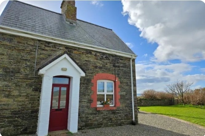 Fulacht fia in Lispatrick LowerFulacht fia · 346 yd
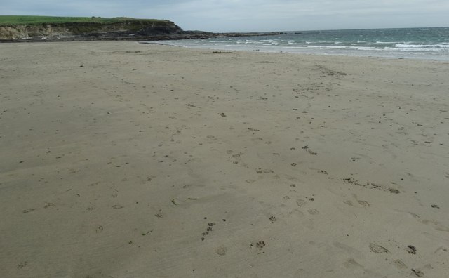 White StrandBeach / strand · 635 yd
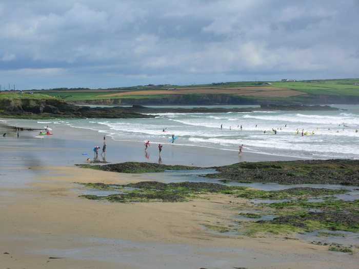 Garrylucas, White StrandBeach / strand · 663 yd
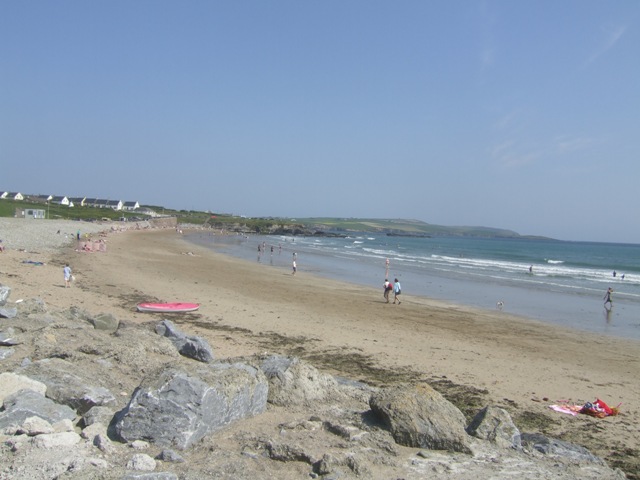 Garretstown StrandBeach / strand · 1756 yd
 Lusitania MemorialMonument · 1.3 mi
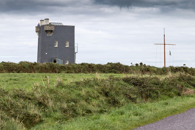 Old HeadViewpoint · 1.4 mi
 De Courcey CastleCastle · 1.5 mi
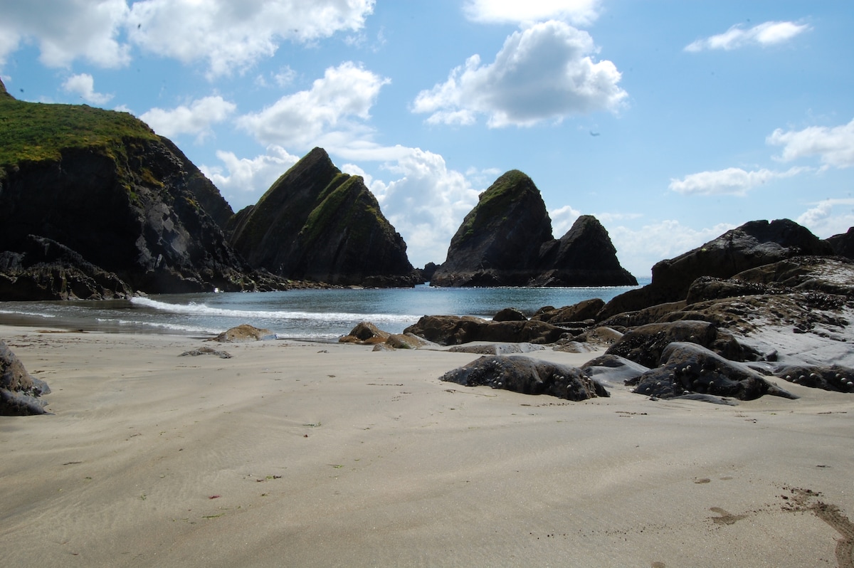 Minane IslandIsland · 1.5 mi
 Bawn in Downmacpatrick OR Old HeadBawn · 1.5 mi
Other information
Photo: Credit not shown in the picture search · Rights wording not checked; contact us if this picture should be removed