
What is recorded here
Situated on a slight W-facing slope. The cropmark of a circular enclosure (diam. c. 30m) defined by a slight fosse feature is visible on an aerial photograph (ME032-079_1) taken in July 2018.
Compiled by Michael Moore based on details provided by Noel and Conor Murphy.
Date of upload: 7 August, 2018
The monument record does not grant public access. Check the route and ask the landowner before entering private land.
- What survives
- Recorded monument
Places near here
 EmbankmentEnclosure · 591 yd
 Sit of Old MonasteryReligious house, Augustinian nuns · 1187 yd
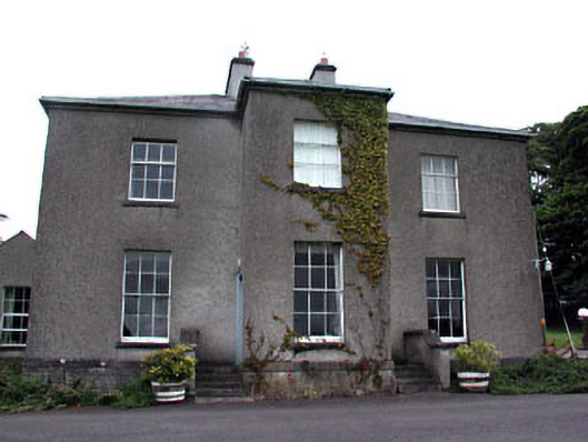 Skryne Rectoryrectory/glebe/vicarage/curate's house · 1694 yd
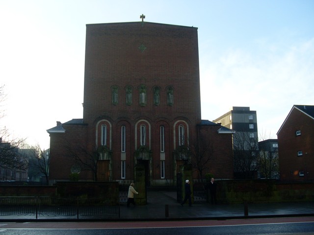 St. Columbkilles WellHoly well · 1.1 mi
 CastleCastle, tower house · 1.3 mi
 Skreen CastleCastle, tower house · 1.5 mi
 Candle HillMountain / peak · 1.8 mi
 Hill of TaraVisitor information · 1.8 mi
 Tara Open StudioGallery · 1.8 mi
 Saint Patrick'sMemorial · 1.8 mi
 Battle of Tara Hillbattle · 2.0 mi
 Battle of Tara (Ireland)Major battlefield · 2.0 mi
Other information
Photo: Credit not shown in the picture search · Rights wording not checked; contact us if this picture should be removed