
What is recorded here
Circular enclosure (diam. c. 20m) visible on aerial photographs taken by Michael Moore. (ASIAP (49) 4-9).
Compiled by: Claire Breen
Date of upload: 24 January 2012
A local fairy fort (ringfort/rath); wider significance not recorded.
The monument record does not grant public access. Check the route and ask the landowner before entering private land.
- What survives
- Recorded monument
Places near here
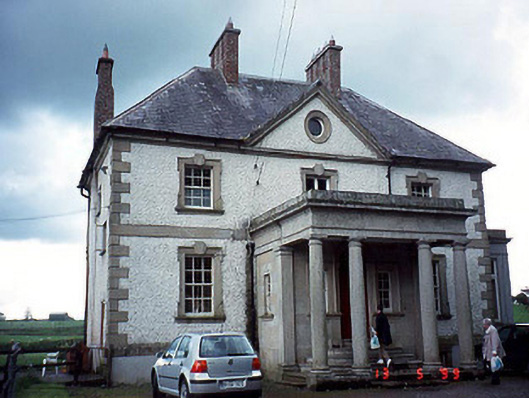 Glen Lodgehouse · 310 yd
 Turret (in ruins)Town defences · 454 yd
 Abbey (Site of)Religious house, Carmelite friars · 517 yd
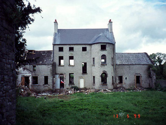 Garrison Househouse · 543 yd
 Church, GraveyardChurch · 578 yd
 Black Castle (in ruins)Castle, tower house · 581 yd
 Common LimeCommon Lime · 1.6 mi
 Sweet ChestnutSweet Chestnut · 1.9 mi
 Dunleckny Ho.Castle, unclassified · 1.9 mi
 Lock Keeper's House and Lodge MillsVisitor information · 2.0 mi
 The Columban WayVisitor information · 2.1 mi
 Graveyard in Tomard Lower (3 Detached Portions)Graveyard · 2.5 mi
Other information
Photo: Credit not shown in the picture search · Rights wording not checked; contact us if this picture should be removed