What is recorded here
Ballyknockan Graveyard occupies a rectangular strip of land beside the church, with a narrow lane cutting from the western road to its north-west corner. The church sits at the northern edge, suggesting burial and worship shared one small world. People likely walked that lane in rain or frost, carrying loss or celebration into ground marked only by patience and time.
On the 1838-9 OS 6-inch map the church (CW016-001001-) is depicted in the northern most portion of Glebe land. On the latest ed. the graveyard is depicted as a rectangular area (map dims. c. 44m N-S; c. 60m E-W) with the church in the northern sector and an entrance lane (L c. 38m; Wth c. 7m) from the road to the W to the NW corner of the graveyard.
Compiled by: Jean Farrelly
Date of upload: 19 August 2011
The monument record does not grant public access. Check the route and ask the landowner before entering private land.
- What survives
- Recorded monument
Places near here
 Church, GraveyardChurch · 16 yd
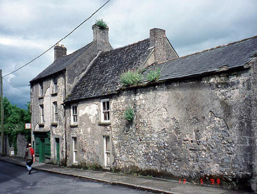 post officepost office · 404 yd
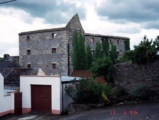 store/warehousestore/warehouse · 410 yd
 Turret (in ruins)Town defences · 445 yd
 Abbey (Site of)Religious house, Carmelite friars · 458 yd
 Black Castle (in ruins)Castle, tower house · 474 yd
 Common LimeCommon Lime · 1.9 mi
 Lock Keeper's House and Lodge MillsVisitor information · 2.1 mi
 Sweet ChestnutSweet Chestnut · 2.2 mi
 Dunleckny Ho.Castle, unclassified · 2.2 mi
 The Columban WayVisitor information · 2.3 mi
 Graveyard in Tomard Lower (3 Detached Portions)Graveyard · 2.5 mi