
What is recorded here
Ruined turret and broken wall mark the eastern edge of a town that received a murage grant in 1310. The defences may have guarded only that bank, leaving the western side exposed to fortune and flood. A circular stone stump rises beside a short length of wall, plain enough to belong to several centuries yet sharp enough to suggest a boundary drawn in haste. People may have watched the water, waited for trouble or simply measured the town against the sky from that small height.
Murage grant made in 1310 (IRC 1829, 43-4). Remains consist of circular turret without distinguishable features and adjacent portion of wall (H 3.5m; L c. 10m). Defences may have originally only have been on E bank of town. (Bradley 1989, 36)
Archaeological testing programmes undertaken in both 2002 and 2006 exposed remains of the 16th century bawn wall associated with the garrison (CW012-070005-) and tower house (CW012-070003-). (Byrne M. 2004, 15; Byrne M. 2009; 46).
The above description is derived from the published 'Archaeological Inventory of County Carlow' (Dublin: Stationery Office, 1993). In certain instances the entries have been revised and updated in the light of recent research.
Date of revision: 3 September 2010
Revised by: Claire Breen
The monument record does not grant public access. Check the route and ask the landowner before entering private land.
- What survives
- Recorded monument
Places near here
 Abbey (Site of)Religious house, Carmelite friars · 63 yd
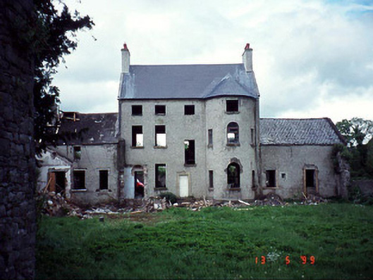 Garrison Househouse · 90 yd
 Black Castle (in ruins)Castle, tower house · 127 yd
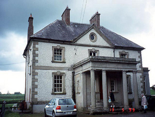 Glen Lodgehouse · 145 yd
 Church, GraveyardChurch · 430 yd
 Enclosure in LeighlinbridgeEnclosure · 454 yd
 Common LimeCommon Lime · 1.7 mi
 Sweet ChestnutSweet Chestnut · 2.2 mi
 Dunleckny Ho.Castle, unclassified · 2.2 mi
 Lock Keeper's House and Lodge MillsVisitor information · 2.2 mi
 Graveyard in Tomard Lower (3 Detached Portions)Graveyard · 2.3 mi
 The Columban WayVisitor information · 2.4 mi
Other information
Photo: Credit not shown in the picture search · Rights wording not checked; contact us if this picture should be removed