What is recorded here
Located on a SE-facing slope with a col c. 20m to the NE and a hill c. 500m to the ENE. The cropmark of a perfectly circular enclosure (diam. c. 30m) defined by a continuous fosse is only visible as on Apple Maps, which utilises a survey conducted by Bluesky International during June 2018. The cropmark of a N-S field drain is immediately to the W. The enclosure is also faintly visible on OSI Images (c. 2017), and it was first reported by Anthony Murphy.
See the attached enhanced image from Apple Maps
Compiled by: Michael Moore
Date of upload: 31 January 2020
A local fairy fort (ringfort/rath); wider significance not recorded.
The monument record does not grant public access. Check the route and ask the landowner before entering private land.
- What survives
- Recorded monument
Places near here
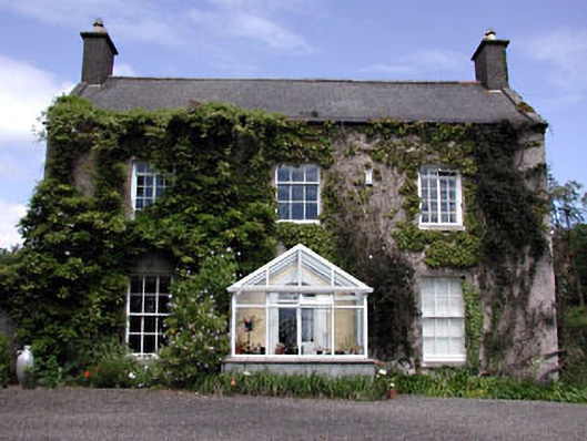 Bellewstown Housefarm house · 838 yd
 CastleCastle, ringwork · 1120 yd
 Church in Collierstown (duleek Upper By.)Church · 1438 yd
 Enclosure in Milltown (duleek Upper By.)Enclosure · 1.2 mi
 MoatCastle, motte · 1.3 mi
 Enclosure in RudderEnclosure · 1.4 mi
 Ballshill PlantingForest · 2.6 mi
 Battle of Julianstownbattle · 2.7 mi
 Tullog WoodForest · 2.7 mi
 Seamus Ennis Cultural CentreMemorial · 4.1 mi
 Bun-na-CnoicMemorial · 4.4 mi
 Naul HillMountain / peak · 4.8 mi
Other information
Photo: Credit not shown in the picture search · Rights wording not checked; contact us if this picture should be removed