What is recorded here
Beaumont (duleek Upper By.) holds a circular earthen ringfort with an east-facing entrance, buried beneath farmland but still visible in cropmarks. The fossilised shape suggests people once drew a boundary around their lives, leaving a hollow that plants reveal when stress touches the soil.
Aerial photograph (GB89.N.06) shows cropmark of a circular enclosure defined by a fosse, with entrance facing east. It is also visible on the OSI series of aerial images (1995).
Compiled by: Dr Gillian Barrett for the Archaeological Survey of Ireland.
Date of revised upload: 10 August 2016
The monument record does not grant public access. Check the route and ask the landowner before entering private land.
- What survives
- Recorded monument
Places near here
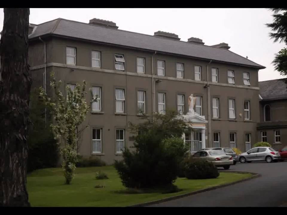 Enclosure in Beaumont (duleek Upper By.)Enclosure · 194 yd
 Beaumont Br.Bridge · 869 yd
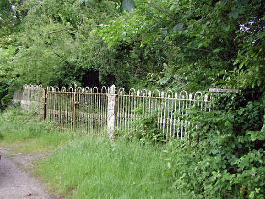 Hilltown Housedemesne walls/gates/railings · 956 yd
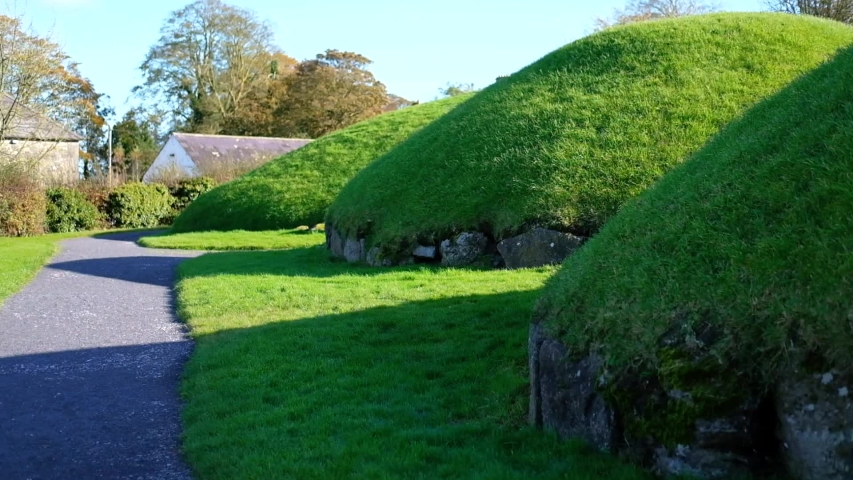 Enclosure in Newhaggard (duleek Upper)Enclosure · 1126 yd
 CastleCastle, unclassified · 1652 yd
 Common LimeCommon Lime · 2.5 mi
 Platin HouseCastle, unclassified · 2.5 mi
 Battle of Julianstownbattle · 3.3 mi
 Newgrange Business ParkMemorial · 3.3 mi
 Glenmore ForestWood · 4.2 mi
 Brú na Bóinne Visitor Centre AccessHeritage attraction · 4.4 mi
 Brú na Bóinne Visitors CentreVisitor information · 4.5 mi