What is recorded here
A castle is depicted at Platen on the Down Survey (1656-8) barony map of Duleek (http://downsurvey.tcd.ie/). According to the Civil Survey (1654-6) Nicholas Darcy of Platen owned over 600 acres at Platen and Callestown, including ‘a castle and some outhouses and cabins’ (Simington 1940, 17). The castle had been replaced by c. 1700 by brick house of three storeys and nine-bay front, possibly designed by Sir William Robinson (Bence-Jones 1978, 232). The house is now knocked but is said to have been on the site of the old D'Arcy castle (D'Alton 1844, 462-3). The chapel (ME027-003001-) is c. 30m to the SE.
A castle is depicted at Platen on the Down Survey (1656-8) barony map of Duleek (http://downsurvey.tcd.ie/). According to the Civil Survey (1654-6) Nicholas Darcy of Platen owned over 600 acres at Platen and Callestown, including ‘a castle and some outhouses and cabins’ (Simington 1940, 17). The castle had been replaced by c. 1700 by brick house of three storeys and nine-bay front, possibly designed by Sir…
From the National Monuments Service (Archaeological Survey of Ireland) record ME027-003002
The monument record does not grant public access. Check the route and ask the landowner before entering private land.
- What survives
- Recorded monument
Places near here
Photo credits
- National Inventory of Architectural Heritage
- Kieran Campbell, Geograph · CC BY-SA 2.0
- John M, Wikimedia Commons · CC BY-SA 2.0
- Cianwal, Wikimedia Commons · CC BY-SA 4.0
- Alvesgaspar, Wikimedia Commons · CC BY-SA 3.0
- Unknown author Unknown author, Wikimedia Commons · Public domain
- William Ellison, Wikimedia Commons · CC BY-SA 4.0
- Sitomon, Wikimedia Commons · CC BY-SA 2.0
- Jan van Huchtenburgh, Wikimedia Commons · Public domain
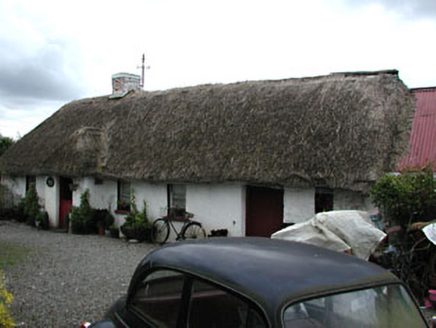 Boyne Valley CottageFarm house · 1590 yd
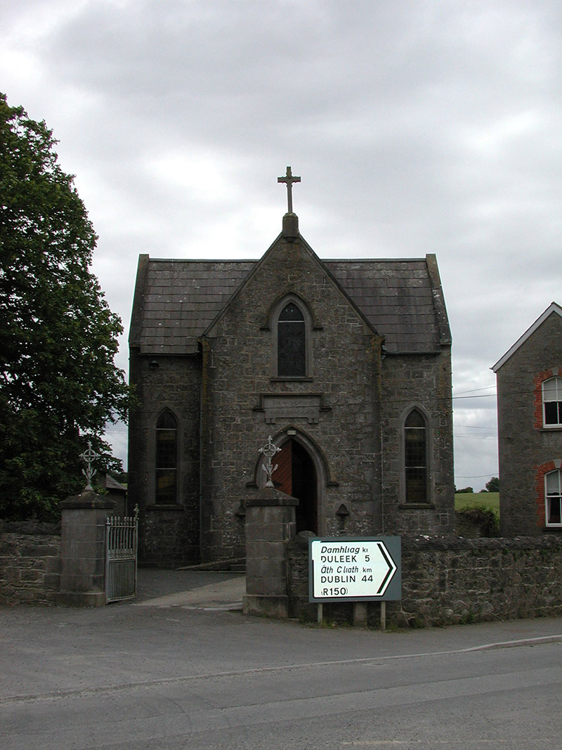 Catholic Church of the Nativity of Our LadyChurch/chapel · 1.0 mi
 CrossCross, Wayside cross (present location) · 2.1 mi
 Brú na Bóinne Visitors CentreVisitor information · 2.3 mi
 Millmount MuseumMuseum · 2.4 mi
 Common Lime2.5 mi
 Siege of DroghedaSiege · 2.5 mi
 DowthNeolithic passage tomb · 2.5 mi
 European Yew2.7 mi
 Town defences in Lagavooren,moneymoreTown defences · 2.7 mi
_tussen_Jacobus_II_en_Willem_III,_12_juli_1690_Rijksmuseum_SK-A-605.jpeg/250px-De_slag_aan_de_Boyne_(Ierland)_tussen_Jacobus_II_en_Willem_III,_12_juli_1690_Rijksmuseum_SK-A-605.jpeg "Photo: Jan van Huchtenburgh, Wikimedia Commons · Public domain") Battle of the BoyneMajor battlefield · 2.7 mi
Battle of the BoyneMajor battlefield · 2.7 mi Athcarne CastleCastle, tower house · 5.0 mi
More castles and forts in County Meath · All of County Meath
What do you know about this place?