What is recorded here
Located on the N bank of a small W-E stream c. 550m W of its confluence with the N-S River Blackwater and the boundary with Co. Tyrone. This is depicted on the 1834 edition of the OS 6-inch map as an oval feature (dims c. 30m E-W; c. 20m N-S) defined by a field bank and described in gothic lettering as a ‘fort’. This is an overgrown area that slopes down steeply to the S, but no archaeological features can be detected at an unlikely location.
The above description is derived from the published 'Archaeological Inventory of County Monaghan' (Dublin: Stationery Office, 1986). In certain instances the entries have been revised and updated in the light of recent research.
Date of revision: 30 August 2017
The monument record does not grant public access. Check the route and ask the landowner before entering private land.
- What survives
- Recorded monument
Places near here
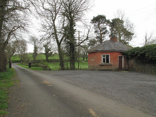 Leek Housegate lodge · 281 yd
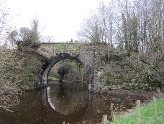 bridgebridge · 1343 yd
 Harry LaveryMemorial · 1647 yd
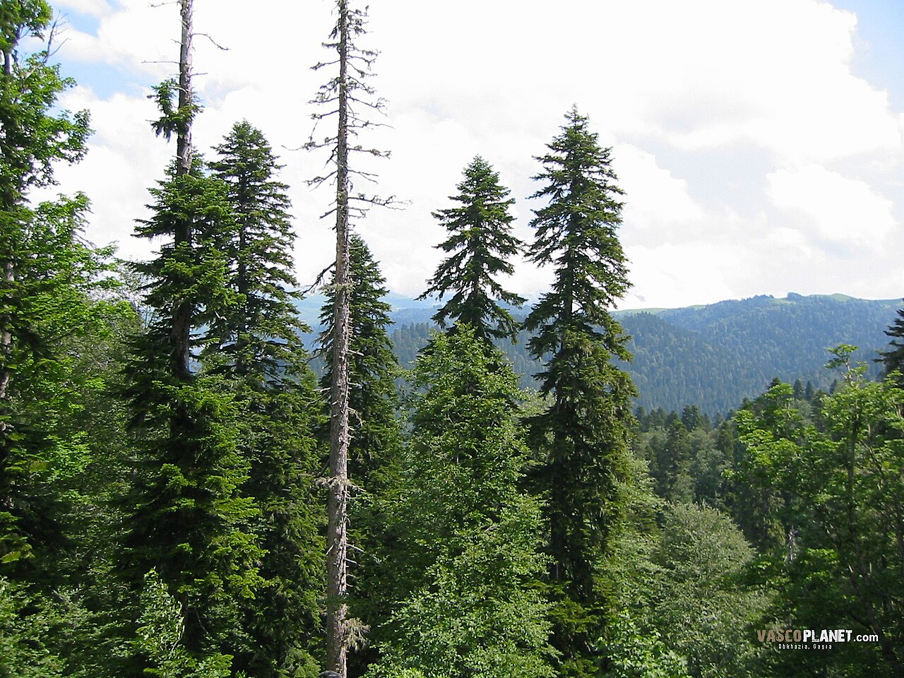 Caucasian FirCaucasian Fir · 1737 yd
 Sitka SpruceSitka Spruce · 1738 yd
 IndicatedEnclosure · 1750 yd
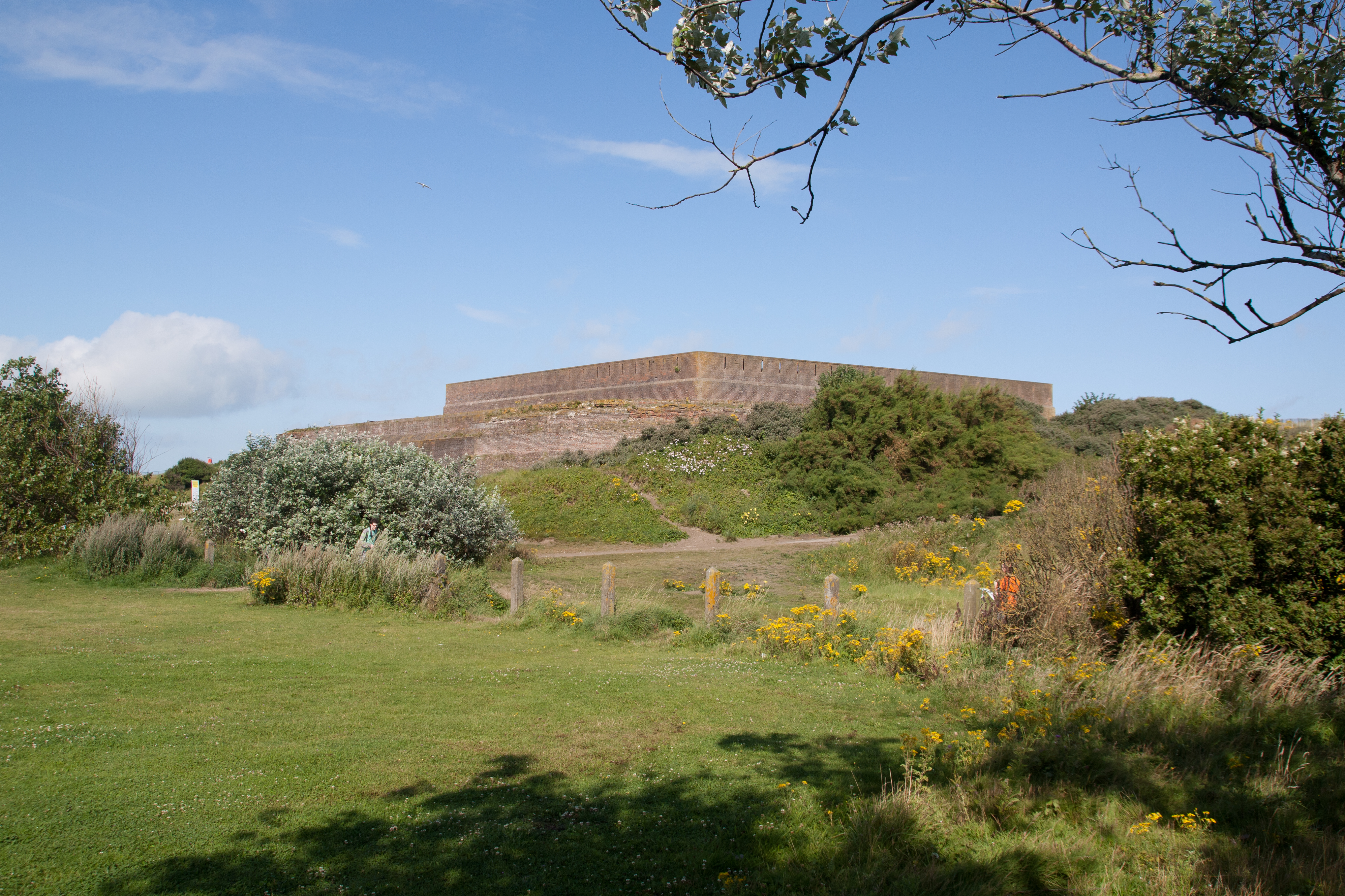 Bastioned fort in GlasloughBastioned fort · 1.2 mi
 Emyvale Heritage TrailVisitor information · 3.0 mi
 St. Muadain's WellSpring · 5.3 mi
 Navan FortArchaeological place · 7.5 mi
 Battle of BenburbMajor battlefield · 7.6 mi
 CrannogIsland · 8.1 mi
Other information
Photo: Credit not shown in the picture search · Rights wording not checked; contact us if this picture should be removed