What is recorded here
Monmurry Lough watches a hidden circle where a forgotten fort once defied the chrome. The surveyors marked a fort in 1834, but the land erased the boundary. The lake keeps the shape the field forgot.
Located towards the top of the E-facing slope of a N-S drumlin ridge and c. 200m NW of the NW angle of Monmurry Lough a subrectangular lake (dims c. 250m N-S; c. 100-140m E-W). A circular enclosure (ext. diam. c. 35m) is depicted on the 1834 edition of the OS 6-inch map as defined by a field bank but it is described in gothic lettering as a 'fort'. No archaeological feature is visible at ground level in pasture.
The following description is derived from the published 'Archaeological Inventory of County Monaghan' (Dublin: Stationery Office, 1986). In certain instances the entries have been revised and updated in the light of recent research.
Date of revision: 25 July 2017
Marked 'Fort' on 1835 OS 6-inch map. No visible surface traces.
The monument record does not grant public access. Check the route and ask the landowner before entering private land.
- What survives
- Recorded monument
Places near here
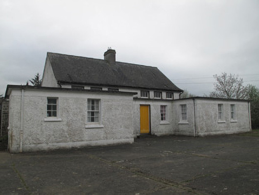 Killyrane National Schoolschool · 709 yd
 IndicatedFairy fort / earthen ringfort · 1329 yd
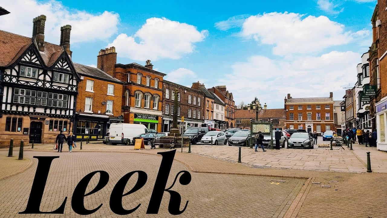 Enclosure in LeekEnclosure · 1.0 mi
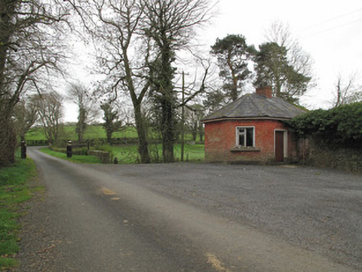 Leek Housegate lodge · 1.2 mi
 Sitka SpruceSitka Spruce · 1.6 mi
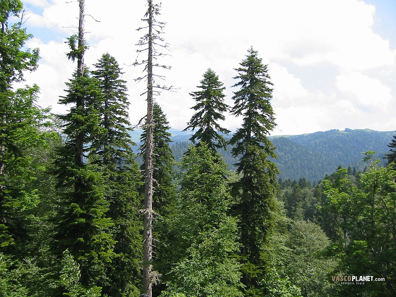 Caucasian FirCaucasian Fir · 1.6 mi
 Harry LaveryMemorial · 1.8 mi
 Emyvale Heritage TrailVisitor information · 2.2 mi
 St. Muadain's WellSpring · 4.3 mi
 Monaghan County MuseumMuseum · 6.9 mi
 Rossmore MonumentMemorial · 7.1 mi
 Bawn in Roosky (monaghan By., Monaghan Par.)Bawn · 7.2 mi