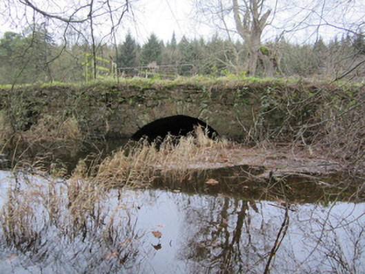
What is recorded here
Water channel and associated bridges and sluice, built c.1820, built of limestone, and serving as channel between lake at Glaslough and Mountain Water River to north. Deep north to south running channel cut into earth, with rubble stone retaining walls to sluice. Random rubble walls with round arch to bridge to south end of channel, having rubble voussoirs and soffit. Random rubble walls with rubble parapets and round arch with cut-stone voussoirs and rubble soffit to bridge to north end of channel. South parapet of northern bridge is part of demesne wall of Castle Leslie.
This channel and bridges add to the variety of estate structures and features at Glaslough. They were simply designed and robustly built. The channel connected the lake and river, perhaps originally intended to serve a mill, or as an overflow from the lake.
This does not grant access. Most recorded buildings are privately owned; view them only from public ground unless the owner allows entry.
Places near here
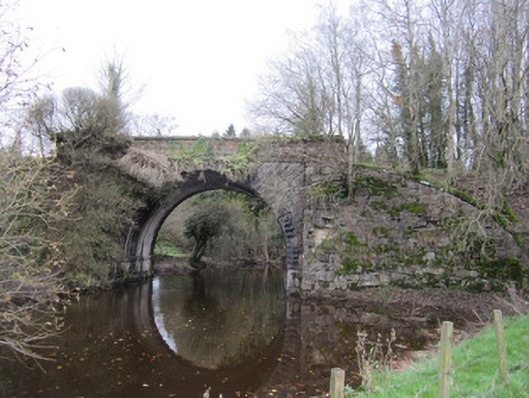 bridgebridge · 171 yd
 Harry LaveryMemorial · 193 yd
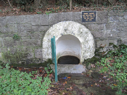 wellwell · 204 yd
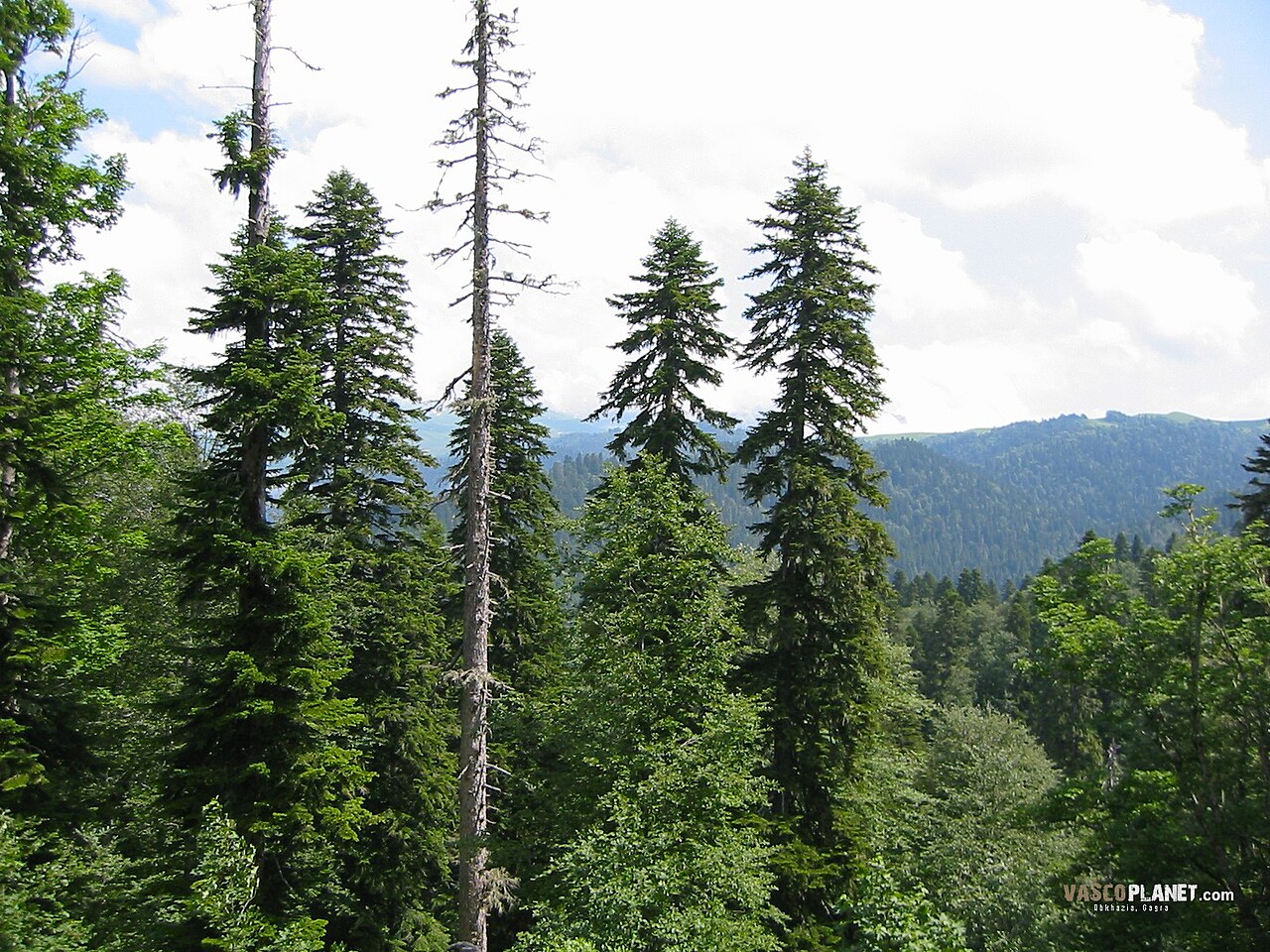 Caucasian FirCaucasian Fir · 675 yd
 Sitka SpruceSitka Spruce · 678 yd
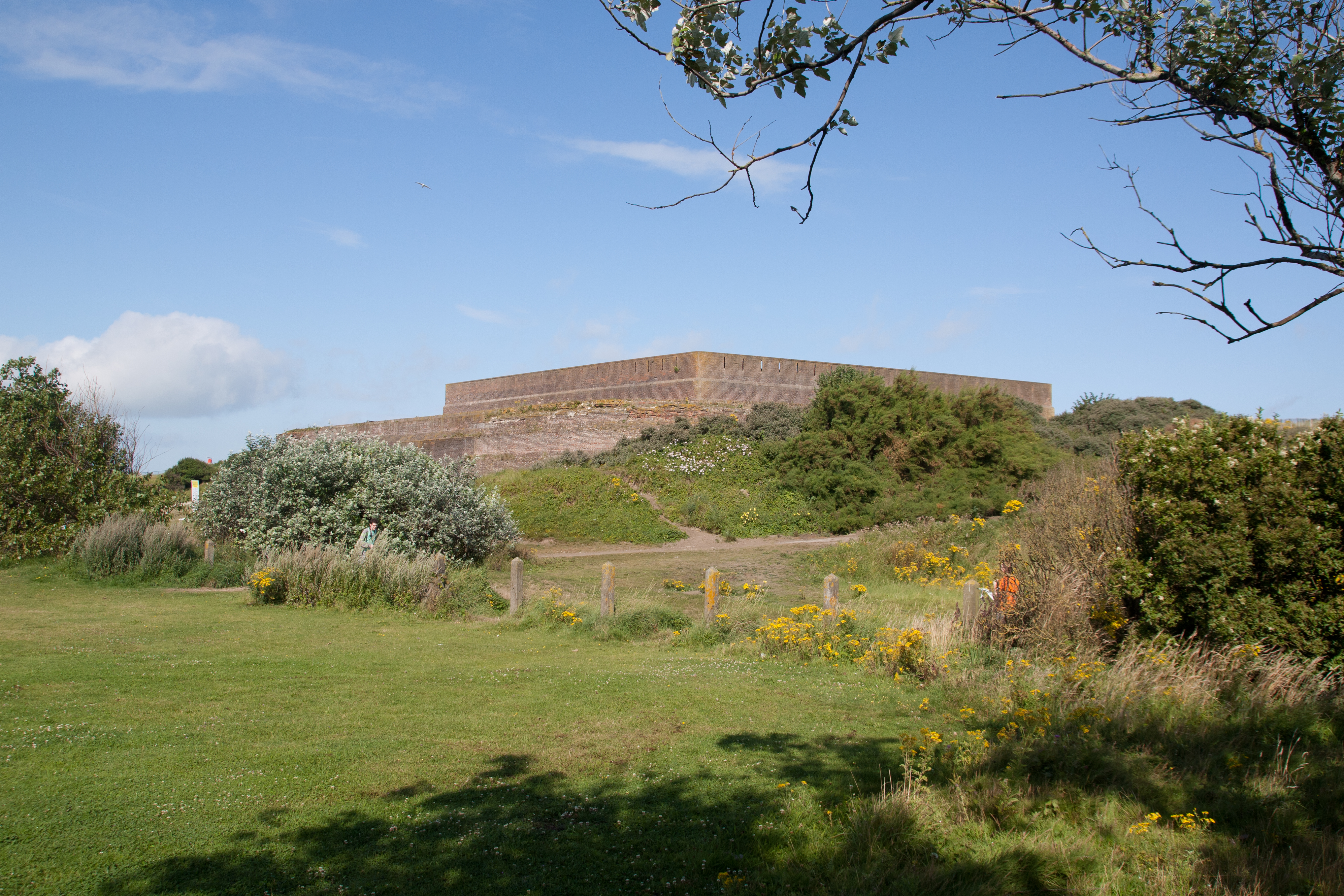 Bastioned fort in GlasloughBastioned fort · 939 yd
 IndicatedGraveyard · 1036 yd
 Emyvale Heritage TrailVisitor information · 3.3 mi
 St. Muadain's WellSpring · 6.0 mi
 Navan FortArchaeological place · 7.5 mi
 Battle of BenburbMajor battlefield · 8.1 mi
 Mullacreevie ambushambush · 8.6 mi
Other information
Photo: National Inventory of Architectural Heritage · Website use allowed for educational or private purposes with source credit