
What is recorded here
Traces of a circular enclosure (diam. c. 60m) are clearly visible on Google Earth (Imagery date 7/12/2013) and to a lesser extent the OSI ortho imagery (dated 2000 and 2005). Brought to the attention of ASI by Owen Connolly.
Compiled by: Claire Breen
Date of upload: 18 December 2013.
A local fairy fort (ringfort/rath); wider significance not recorded.
The monument record does not grant public access. Check the route and ask the landowner before entering private land.
- What survives
- Recorded monument
Places near here
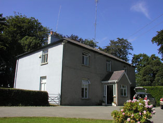 The Rookeryhouse · 557 yd
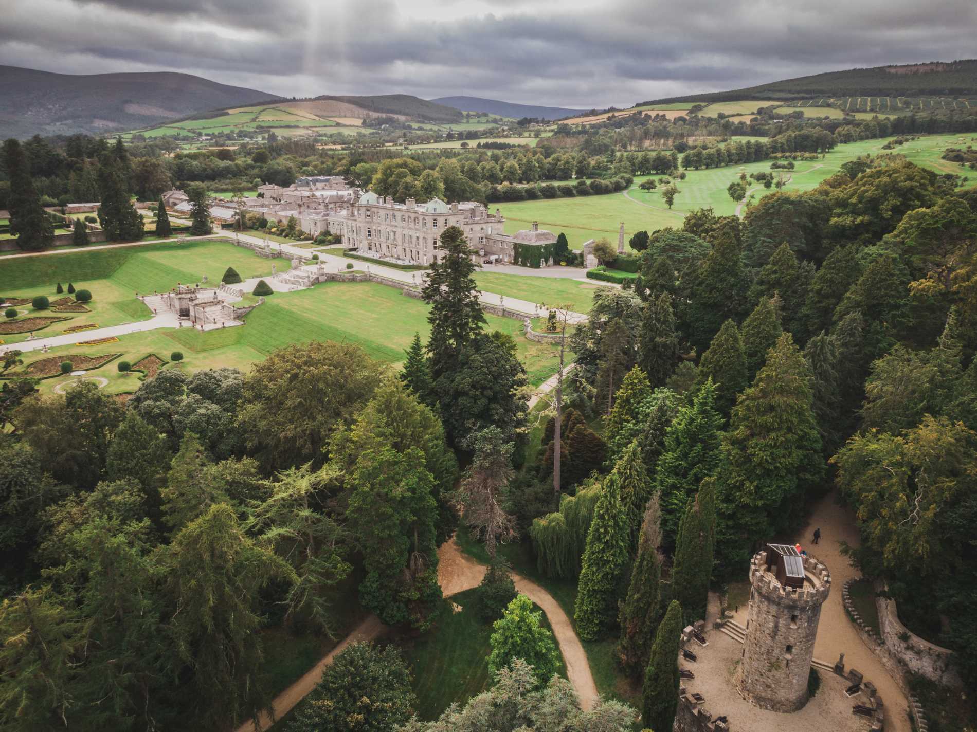 RingfortArchaeological place · 769 yd
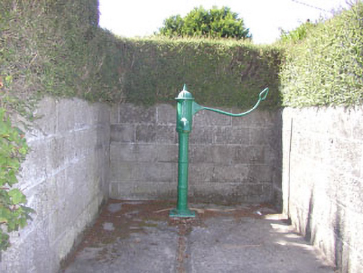 water pumpwater pump · 794 yd
 Enclosure in Leabeg MiddleEnclosure · 801 yd
 Castle (in Ruins)Castle, ringwork · 1600 yd
 SycamoreSycamore · 1607 yd
 Leamore StrandBeach / strand · 1.0 mi
 East Coast Nature ReserveNature reserve · 1.6 mi
 Glenroe FarmHeritage attraction · 2.1 mi
 CastleCastle, ringwork · 2.5 mi
 Delgany Heritage TrailWalking route · 3.8 mi
 Greystones South BeachBeach / strand · 4.0 mi
Other information
Photo: Credit not shown in the picture search · Rights wording not checked; contact us if this picture should be removed