What is recorded here
The Ordnance Survey Latters of 1838-40 refer to an enclosure to the W of the castle in Newcastle but this remains unlocated as there is no surviving indication of any enclosure near the castle (O'Flanagan 1928, 88). No enclosure is marked in this area on any edition of the Ordnance Survey maps.
Compiled by: Caimin O'Brien
Date of upload: 07 December 2012
The monument record does not grant public access. Check the route and ask the landowner before entering private land.
- What survives
- Recorded monument
Places near here
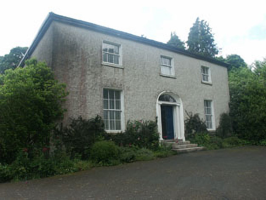 Millbrook Househouse · 150 yd
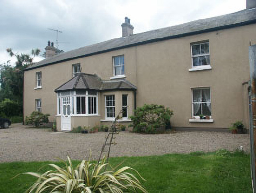 Oaklawnhouse · 168 yd
 Castle (in Ruins)Castle, ringwork · 225 yd
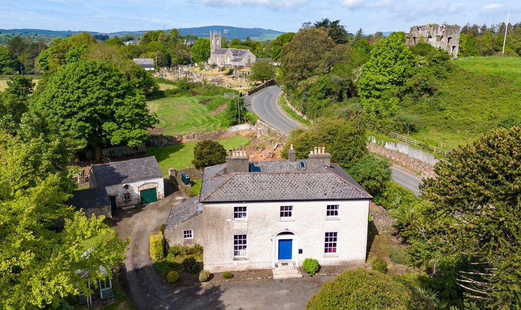 Enclosure in Newcastle LowerEnclosure · 765 yd
 IndicatedFairy fort / earthen ringfort · 770 yd
 East Coast Nature ReserveNature reserve · 1.2 mi
 CastleCastle, ringwork · 1.5 mi
 Leamore StrandBeach / strand · 1.6 mi
 SycamoreSycamore · 1.6 mi
 Glenroe FarmHeritage attraction · 3.0 mi
 Delgany Heritage TrailWalking route · 4.5 mi
 Greystones South BeachBeach / strand · 4.9 mi