What is recorded here
Situated on level ground in tillage. Two enclosures, one oval (dims. c. 40m x c. 35m) and one circular (diam. c. 25m), occurring side by side, with a rectangular enclosure (min. dims. c. 50m x 45m) superimposed. All are defined by fosses and are visible as cropmarks on aerial photograph (CUCAP, BDJ 98). The circular enclosure may have a second (outer) fosse and the rectangular enclosure has an entrance gap on the S side. Other fosses are visible in the immediate vicinity. Not visible at ground level.
The above description is derived from the published 'Archaeological Inventory of County Wicklow' (Dublin: Stationery Office, 1997). In certain instances the entries have been revised and updated in the light of recent research.
Date of upload/revision: 17 December 2008
The monument record does not grant public access. Check the route and ask the landowner before entering private land.
- What survives
- Recorded monument
Places near here
 Enclosure in Leabeg MiddleEnclosure · 902 yd
 Enclosure in BallyloughlinEnclosure · 1011 yd
 bridgebridge · 1113 yd
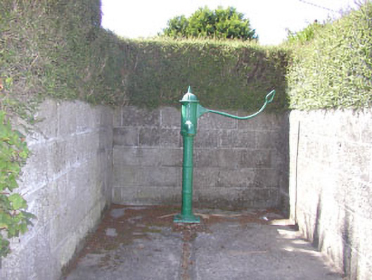 water pumpwater pump · 1183 yd
 SycamoreSycamore · 1664 yd
 Leamore StrandBeach / strand · 1699 yd
 Glenroe FarmHeritage attraction · 1.5 mi
 Castle (in Ruins)Castle, ringwork · 1.6 mi
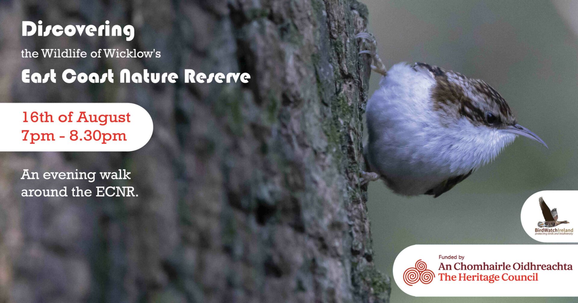 East Coast Nature ReserveNature reserve · 2.0 mi
 CastleCastle, ringwork · 3.1 mi
 Delgany Heritage TrailWalking route · 3.4 mi
 Greystones South BeachBeach / strand · 3.4 mi