What is recorded here
In generally level area of small basin at base of NNE-facing slope. Remains of oval area (dims. 10.5m NNE-SSW; 17m WNW-ESE) defined by levelled scarp (Wth 4.75m; H 0.55m). Remains of levelled linear feature (L 16m; Wth 3m; H 0.15m) extends (long-axis c. N-S) to drain at N and may be a causeway/raised trackway. Similar feature at S has been levelled off into area of monument making it appear elongated to S. Identified as a penannular enclosure, open to W on an aerial photograph (GSI May 1977, R.534/3).
Compiled by: Jean Farrelly
Date of upload: 26 August 2011
The monument record does not grant public access. Check the route and ask the landowner before entering private land.
- What survives
- Recorded monument
Places near here
 Enclosure in Lattin NorthEnclosure · 108 yd
 Site of ChurchChurch · 1049 yd
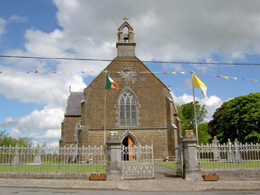 Catholic Church of the Assumptionchurch/chapel · 1210 yd
 grottogrotto · 1262 yd
 CastleCastle, ringwork · 1.5 mi
 Site of Castle LoaghnyCastle, unclassified · 2.0 mi
 Carn (site of)Cairn, burial cairn · 3.5 mi
 SlievenamuckMountain / peak · 4.0 mi
 Oola HillMountain / peak · 4.1 mi
 Bansha ForestForest · 4.7 mi
 Darby's Bed Walk LoopWalking route · 4.9 mi
 St Patrick's WellSpring · 5.9 mi