
What is recorded here
In improved pasture, on top of conspicuous rise. Remains of sub-rectangular area (dims. c. 23m N-S; 28m E-W) defined by traces of low scarp (Wth 3.2m; H 0.45m) to W and N. Scarp generally levelled to E across plateau area of rise and levelled downslope to S. Interior is uneven due to scars of various round feeders in between which, the ground is deeply poached and waterlogged. Remains of fosse (Wth 4.95m; D 0.1m) NE-ESE and possibly at NW corner. Identified as a sub-oval enclosure on aerial photographs (OS 2396 and GSI (May 1977) R.534/3). Modern road c. 11m to SE.
Compiled by: Jean Farrelly
Date of upload: 26 August 2011
The monument record does not grant public access. Check the route and ask the landowner before entering private land.
- What survives
- Recorded monument
Places near here
 Field system in Clasheleesha,lattin NorthField system · 1020 yd
 Enclosure in Lattin WestEnclosure · 1091 yd
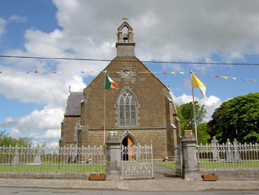 Catholic Church of the Assumptionchurch/chapel · 1140 yd
 grottogrotto · 1178 yd
 CastleCastle, ringwork · 1.5 mi
 Site of Castle LoaghnyCastle, unclassified · 2.1 mi
 Carn (site of)Cairn, burial cairn · 3.5 mi
 SlievenamuckMountain / peak · 3.9 mi
 Oola HillMountain / peak · 4.1 mi
 Bansha ForestForest · 4.7 mi
 Darby's Bed Walk LoopWalking route · 4.8 mi
 St Patrick's WellSpring · 5.8 mi
Other information
Photo: Credit not shown in the picture search · Rights wording not checked; contact us if this picture should be removed