
What is recorded here
In grassland on a SW-facing slope of rising ground in upland region with good views from E through S to W, with higher ground to N. A raised platform ringfort (TS066-010----) lies 105m to SSE, a graveyard (TS066-009002-) immediately to the S. A quarry (dims. 35m N-S ; 40m E-W; D 2-3m) dug in the early 1980s appears to have quarried out most of the church, but rescue excavation in 1985 revealed possible wall-footings of a stretch of wall running N-S, which may have been part of the church, immediately E of the quarry (Power 1989, 140). The fosse of a possible enclosure can still be seen 16m to the N of the quarry and may have been an Early Christian enclosure (TS066-009003-) associated with the church. This boundary ditch to the N and S of the church are indicated on the 1st ed. OS 6-inch map. They may, however, be later field boundaries of medieval or post-medieval date and have acted as a boundary ditch for the medieval church and graveyard. No other features are visible. This church is located in the Parish of Kiltinahy which, according to the OS Letters, is derived from Cill tSinche or the Church of St. Sinech (O'Flanagan 1930, vol. 1, 11). The OS Letters describe the church as 'now destroyed the foundations, which are overgrown with grass and weeds and so effaced that the extent of the building could not be ascertained' (ibid.).
Compiled by: Jean Farrelly
Date of upload: 26 August 2011
This remains an important historical record, but the official description says the monument is no longer visible or has been destroyed. The monument record does not grant public access. Check the route and ask the landowner before entering private land.
- What survives
- No visible remains or recorded as destroyed
Places near here
 Enclosure in BallynacreeEnclosure · 1127 yd
 Enclosure in Lattin NorthEnclosure · 1154 yd
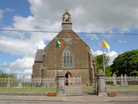 Catholic Church of the Assumptionchurch/chapel · 1.2 mi
 Kilcornan Church (in Ruins)Church · 1.2 mi
 Site of Castle LoaghnyCastle, unclassified · 1.4 mi
 RathduffCastle, ringwork · 2.1 mi
 Oola HillMountain / peak · 3.6 mi
 SlievenamuckMountain / peak · 4.6 mi
 St. Patrick's WellSpring · 5.5 mi
 St Patrick's WellSpring · 6.0 mi
 Flat cemetery in Knockainy WestFlat cemetery · 7.0 mi
 Ballinvreena LoopVisitor information · 8.8 mi
Other information
Photo: Credit not shown in the picture search · Rights wording not checked; contact us if this picture should be removed