
What is recorded here
In grassland on top of a low rise of ground in upland area with good views in all directions. A castle (TS058-040----) and a ringfort (TS058-041----) are located 430m and 195m to the NE respectively. Described in the OS Letters as an 'old church which gave its name to the townland but its walls are now destroyed and grass and weeds are growing over their foundations, which are so effaced that the extent of the building could not be determined. The graveyard [TS058-060002-] is no longer used as a cemetery. This is probably the Cill Churnain mentioned in the Pedigree of the O'Briens as the seat of the race of Torlogh O'Brien, Erenach of Emly' (O'Flanagan 1930, vol.1, 9). There is no visible trace of this church above ground level.
Compiled by: Jean Farrelly
Date of upload: 26 August 2011
This remains an important historical record, but the official description says the monument is no longer visible or has been destroyed. The monument record does not grant public access. Check the route and ask the landowner before entering private land.
- What survives
- No visible remains or recorded as destroyed
Places near here
 Site of Castle LoaghnyCastle, unclassified · 474 yd
 Enclosure in Ballyrobin (kilcornan Par.)Enclosure · 777 yd
 Field system in Ballyrobin (kilcornan Par.)Field system · 822 yd
 RoadRoad, road/trackway · 1.3 mi
 RathardCastle, ringwork · 1.4 mi
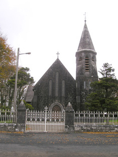 Saint Brigid's Catholic Churchchurch/chapel · 1.4 mi
 Oola HillMountain / peak · 3.2 mi
 Kilteely HillMountain / peak · 4.3 mi
 St. Patrick's WellSpring · 4.4 mi
 St Patrick's WellSpring · 6.3 mi
 Flat cemetery in Knockainy WestFlat cemetery · 6.5 mi
 Ballinvreena LoopVisitor information · 9.2 mi
Other information
Photo: Credit not shown in the picture search · Rights wording not checked; contact us if this picture should be removed