
What is recorded here
National monument No. 555. On 157m spot height, affording excellent views all around. Raised circular shape area (diam. 22m) defined by an earth and stone bank (Wth 7.9m; int. H 0.2m) which is higher (ext. H 3.25m) to W-side and lower (ext. H 2.55m) to E, has gap (Wth 4m) at SSE. Intervening deep fosse (Wth 8.8m; D 0.4m) NE-SW has causeway (Wth 4m) at SSE. Outer bank (Wth 4m; int. H 0.7m; ext. H 0.3m) NE-SW has wide entrance to causeway at SSE. Interior grass covered and level. Monument enclosed by linear field boundary to S, W and N and open to a steep slope to E.
Compiled by Alison McQueen and Vera O'Rahilly
Date of upload: 9 June 2016
A local castle; wider significance not recorded.
The monument record does not grant public access. Check the route and ask the landowner before entering private land.
- What survives
- Recorded monument
Places near here
 BarrowBarrow, unclassified · 308 yd
 kilnkiln · 1052 yd
 Site of Ballyneety CastleCastle, unclassified · 1175 yd
 Enclosure in Longstone (kilcornan Par.)Enclosure · 1226 yd
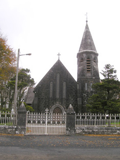 Saint Brigid's Catholic Churchchurch/chapel · 1271 yd
 Site of Castle LoaghnyCastle, unclassified · 1.1 mi
 Oola HillMountain / peak · 2.5 mi
 KnockseefinMountain / peak · 3.8 mi
 St. Patrick's WellSpring · 3.9 mi
 Flat cemetery in Knockainy WestFlat cemetery · 7.0 mi
 St Patrick's WellSpring · 7.4 mi
 Ballinvreena LoopVisitor information · 10 mi
Other information
Photo: Credit not shown in the picture search · Rights wording not checked; contact us if this picture should be removed