
What is recorded here
In reclaimed pasture, on the demesne lands of Derk House located 490m to NNE. In the centre of a cluster of 14 barrows (LI033-036001/009; LI033-090/91-; LI033-121/122-; LI033-154----) concentrated in the S half of Derk townland. Regular pattern of linear ditches combined with upstanding field boundaries clearly…
Read the whole record
From the National Monuments Service (Archaeological Survey of Ireland) record LI033-036010
Places near here
Photo credits
- National Inventory of Architectural Heritage
- Maker not stated on source page, evoke.ie
- Maker not stated on source page, www.dreamstime.com
- Maker not stated on source page, au.pinterest.com
- Maker not stated on source page, en.wikipedia.org
- Knockane GAA Club website; individual photographer not stated, www.knockane.com
- No machine-readable author provided. Christian1965~commonswiki assumed (based on copyright claims)., Wikimedia Commons · Public domain
- Kmcnamee, Wikimedia Commons · CC BY-SA 4.0
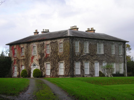 DerkCountry house · 829 yd
Explorer Tom Derk is so grand it makes map makers want to cry into their compasses. The windows shrink as they go up, like a pyramid…
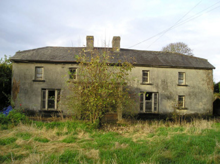 Derk CottageHouse · 957 yd
Explorer Tom Derk Cottage in Derk saw a love story end badly right outside its gate. The couple argued about who owned the view, and…
 Fairy fort / earthen ringfort in Ballyneety SouthFairy fort / earthen ringfort · 1.0 mi
Explorer Tom Fairy fort / earthen ringfort in Ballyneety South hosted a love story that ended badly. The heartbroken party threw…
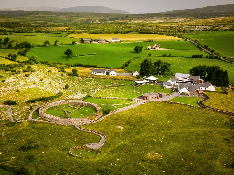 Fairy fort / earthen ringfort in Duncummin,killeennagalliveFairy fort / earthen ringfort · 2.0 mi
Explorer Tom Fairy fort / earthen ringfort in Duncummin, Killeennagallive thinks the seagulls are just local critics who haven't…
Fairy fort / earthen ringfort in DuncumminFairy fort / earthen ringfort · 2.1 miExplorer Tom Fairy fort / earthen ringfort in Duncummin has a long-standing grudge against the weather for keeping its entrance…
 Standing stone in CromwellStanding stone · 2.3 mi
Explorer Tom Standing stone in Cromwell is guarding a hidden treasure that is definitely just a rusty biscuit tin from 1954. It’s…
Fairy fort / earthen ringfort in BallyhobinFairy fort / earthen ringfort · 4.8 miExplorer Tom Fairy fort / earthen ringfort in Ballyhobin started a massive feud between two families over who owned the view of…
 Stone Circle, HachuredStone circle · 4.9 mi
Explorer Tom Stone Circle in Ballynamona has a fence running right through the middle, like the first owner had an escape plan. Most…
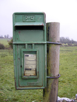 post box5.0 mi
Explorer Tom The post box in Ballynamona has a tiny drama with the nearest tree over who gets more sunlight. It was made in Scotland…
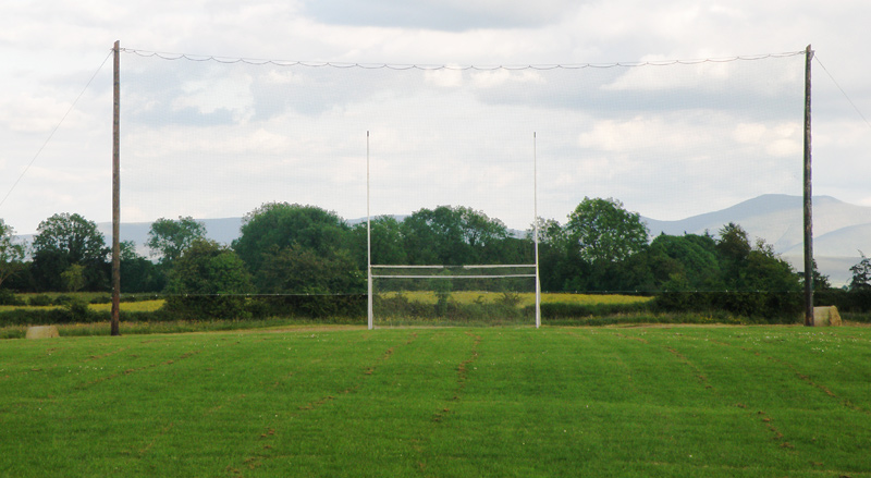 Knockainey GAA pitchGAA ground · 7.2 mi
 Áine and Gearóid Iarla: Lough GurLegend location · 7.5 mi
Explorer Tom Áine and Gearóid Iarla: Lough Gur has a goddess for the lake and a sleeping lord in the old stories. I thought I was…
 Bruff GAA pitchGAA ground · 9.0 mi
More archaeology and monuments in County Limerick · All of County Limerick

What do you know about this place?Tap to add a comment or ask a question