What is recorded here
On N slope of a hillock in undulating pasture 140m NE of enclosure (LI024-146----). Not depicted on OS maps. Identified by Bruff aerial photographic survey in 1986 (Bruff 71; AP 4/3681) as a small circular-shaped area defined by a scarp. The monument is visible as a faint cropmark on Google Earth orthoimage dated 25/05/2017.
From the National Monuments Service (Archaeological Survey of Ireland) record LI024-147
The monument record does not grant public access. Check the route and ask the landowner before entering private land.
- What survives
- Recorded monument
Places near here
Photo credits
- National Inventory of Architectural Heritage
- Graham Horn, Geograph · CC BY-SA 2.0
- Mike Searle, Wikimedia Commons · CC BY-SA 2.0
- EamonnPKeane, Wikimedia Commons · CC0
KnockseefinMountain / peak · 447 ydPartially indicatedEnclosure · 519 yd Catholic Church of Saint John the BaptistChurch/chapel · 952 ydpost box988 ydMoymore HouseRectory/glebe/vicarage/curate's house · 1.0 miKeystoneHouse · 1.1 miKilduff Castle (in ruins)Castle, tower house · 1.6 miKilduff CastleCastle · 1.6 miToberagaddySpring · 1.7 miSt. Patrick's WellSpring · 2.8 miKilteely HillMountain / peak · 3.3 miStanding stone in Longstone (cullen Par.)Standing stone · 4.8 mi
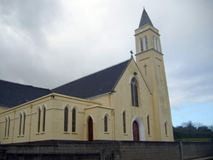 Catholic Church of Saint John the BaptistChurch/chapel · 952 yd
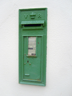 post box988 yd
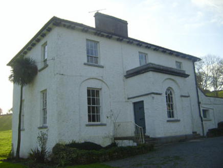 Moymore HouseRectory/glebe/vicarage/curate's house · 1.0 mi
 KeystoneHouse · 1.1 mi
 Kilduff Castle (in ruins)Castle, tower house · 1.6 mi
 Kilduff CastleCastle · 1.6 miToberagaddySpring · 1.7 miSt. Patrick's WellSpring · 2.8 miKilteely HillMountain / peak · 3.3 mi
 Standing stone in Longstone (cullen Par.)Standing stone · 4.8 mi
More archaeology and monuments in County Limerick · All of County Limerick
What do you know about this place?