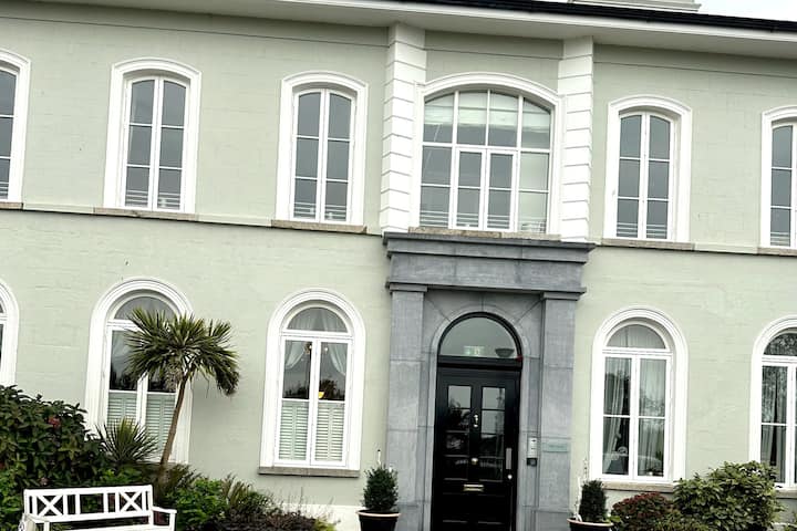
What is recorded here
Situated on a NE facing slope close to the Camock River. An aerial photograph taken in 1971 (FSI 227/8) shows cropmark evidence for a subcircular enclosure (diam. c. 38m). Possibly a levelled ringfort. There is a housing estate on the site. Not visible at ground level.
Compiled by: Geraldine Stout
Date of upload: 26 August 2011
A local fairy fort (ringfort/rath); wider significance not recorded.
The monument record does not grant public access. Check the route and ask the landowner before entering private land.
- What survives
- Recorded monument
Places near here
 IndicatedKiln, lime · 262 yd
 Clondalkin Librarylibrary/archive · 704 yd
 CastleCastle, unclassified · 806 yd
 Partially indicatedEcclesiastical enclosure · 1132 yd
 Clondalkin Round TowerHeritage attraction · 1167 yd
 Round TowerRound tower · 1167 yd
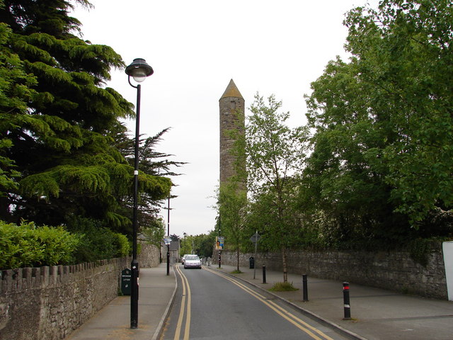 The Round TowerVisitor information · 1175 yd
 Norman MotteCastle · 1445 yd
 Veronica Guerin memorialMemorial · 1.1 mi
 Belgard RoadMemorial · 1.4 mi
 Fairy WoodWood · 1.8 mi
 Mayor's Mile (Finsish)Visitor information · 2.2 mi
Other information
Photo: Credit not shown in the picture search · Rights wording not checked; contact us if this picture should be removed