
What is recorded here
From the National Monuments Service (Archaeological Survey of Ireland) record CO015-003
Places near here
Photo credits
- Maker not stated on source page, en.wikipedia.org
- Maker not stated on source page, www.airbnb.ca
- Maker not stated on source page, it.pinterest.com
- Maker not stated on source page, www.tripadvisor.ca
- Maker not stated on source page, www.viamichelin.com
- National Inventory of Architectural Heritage
- Kmcnamee, Wikimedia Commons · CC BY-SA 4.0
- Maker not stated on source page, www.dreamstime.com
- Maker not stated on source page, heritagecalling.com
- Maker not stated on source page, ie.pinterest.com
 Church in KnockillyChurch · 743 yd
Explorer Tom Church in Knockilly has a grassy mound that’s suspiciously tidy, likely because the postman checks up on it weekly.…
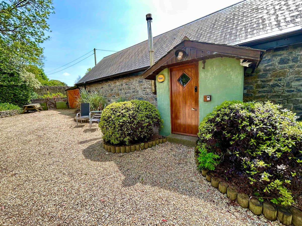 Kilmacow Holy WellSpring · 1.6 mi
Explorer Tom Kilmacow Holy Well is locked in a massive fairy dispute over parking rights because one sprite parked her cloud right…
 Ecclesiastical enclosure in Bawnmore NorthEcclesiastical enclosure · 1.7 mi
Explorer Tom Ecclesiastical enclosure in Bawnmore North is heart-shaped, which is either romantic or just a very weird hill that got…
 Church in Coolbane (duhallow By., Tullylease Par.)Church · 1.8 mi
Explorer Tom Church in Coolbane has very strong opinions on modern buildings and thinks they’re all show-offs. There is now no sign…
 Standing stone in LismireStanding stone · 1.9 mi
Explorer Tom Standing stone in Lismire is hiding on D. Kelly's land. It was recorded back in 1934 as being two feet high. I bet it's…
 Barleyhill BridgeBridge · 2.2 mi
Explorer Tom Barleyhill Bridge in Barleyhill is sturdy and associated with the 1916 Easter Rising, so it’s got serious history on…
 Freemount GAA pitchGAA ground · 2.3 mi
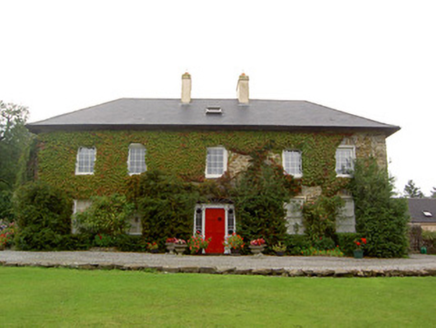 Tullylease HouseCountry house · 3.8 mi
Explorer Tom Tullylease House in Tullylease, County Cork, was the seat of the Sullivan family and has a Greek Revival doorcase that…
 Standing stone in PoulavareStanding stone · 4.1 mi
Explorer Tom Standing stone in Poulavare was recorded by Bowman in 1934 as being nearly four feet high. But nobody knows the exact…
 Kilbrin GAA pitchGAA ground · 5.3 mi
 Church in KnockballymartinChurch · 5.6 mi
Explorer Tom Church in Knockballymartin is just a field now because the church got lost in translation somewhere around 1934. No…
 Standing stone in Knockduff Upper (duhallow By., Cullen Par.)Standing stone · 12 mi
Explorer Tom Standing stone in Knockduff Upper was recorded by Broker as three feet high and about a ton weight. It broke in 1934…
More archaeology and monuments in County Cork · All of County Cork

What do you know about this place?Tap to add a comment or ask a question