What is recorded here
In a low-lying area close to the base of Checker Hill. Marked on 1st ed. of OS 6-inch map as a circular enclosure (D c. 40m); on a 3rd ed. (1930) only W half is indicated. All that is visible is a modern field wall curving from S through W to N (N-S 40m), beneath which possible traces of the original enclosure wall are visible.
The above description is derived from the published 'Archaeological Inventory of County Galway Vol. II - North Galway'. Compiled by Olive Alcock, Kathy de hÓra and Paul Gosling (Dublin: Stationery Office, 1999).
Date of upload: 05 August 2010
The monument record does not grant public access. Check the route and ask the landowner before entering private land.
- What survives
- Recorded monument
Places near here
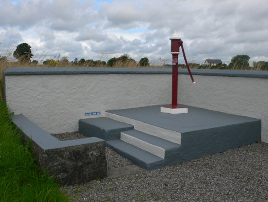 water pumpwater pump · 601 yd
 Catholic Church of Christ the Kingchurch/chapel · 635 yd
 LissabrollaunFairy fort / earthen ringfort · 977 yd
 Enclosure in KiltivnaEnclosure · 1022 yd
 Castle in ruinsCastle, unclassified · 1.4 mi
 Slieve DartMountain / peak · 1.9 mi
 Dunmore CastleCastle · 3.8 mi
 Site of Killomaine Grave YardArchaeological place · 9.2 mi
 European ashEuropean ash · 12 mi
 LisowenmacloughlinArchaeological place · 1093 yd
 Ballaghdorragha RathFairy fort / earthen ringfort · 1424 yd
 ShrineAltar · 1725 yd