What is recorded here
Brennan's Fort was a thirty-metre earthen circle in Knockaunbrack grassland, but the land has swallowed its ridge. A second ringfort waits a hundred metres northwest, suggesting a crowded human landscape rather than a single lonely house. The forgotten fort may have belonged to a family who stopped visiting when the work became harder than the memory.
In gently undulating grassland. Marked on 1st ed. of OS 6-inch map as a circular enclosure (D c. 30m). Neary (1914, 120, no. 8) classified it as a 'circular, earthen ravelled fort', known locally as 'Brennan's Fort'. No visible surface trace survives. A ringfort (GA005-085----) lies c. 100m to NW.
The above description is derived from the published 'Archaeological Inventory of County Galway Vol. II - North Galway'. Compiled by Olive Alcock, Kathy de hÓra and Paul Gosling (Dublin: Stationery Office, 1999).
Date of upload: 05 August 2010
A fairy fort or earthen ringfort in Knockaunbrack, Lissyconor, is a circular, earthen ravelled fort, likely dating to the early medieval period. It is known locally as "Brennan's Fort" and was recorded on the first edition of the Ordnance Survey 6-inch map as a circular enclosure with a diameter of approximately 30 meters.
The monument record does not grant public access. Check the route and ask the landowner before entering private land.
- What survives
- Recorded monument
Places near here
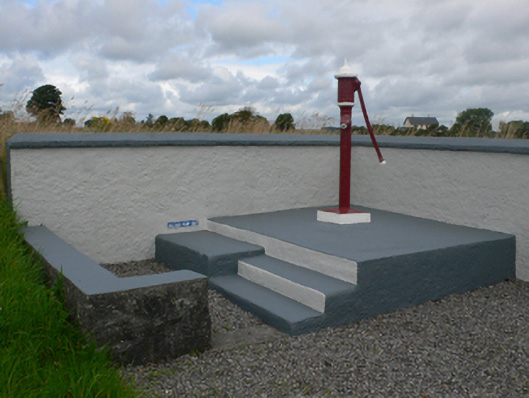 water pumpwater pump · 695 yd
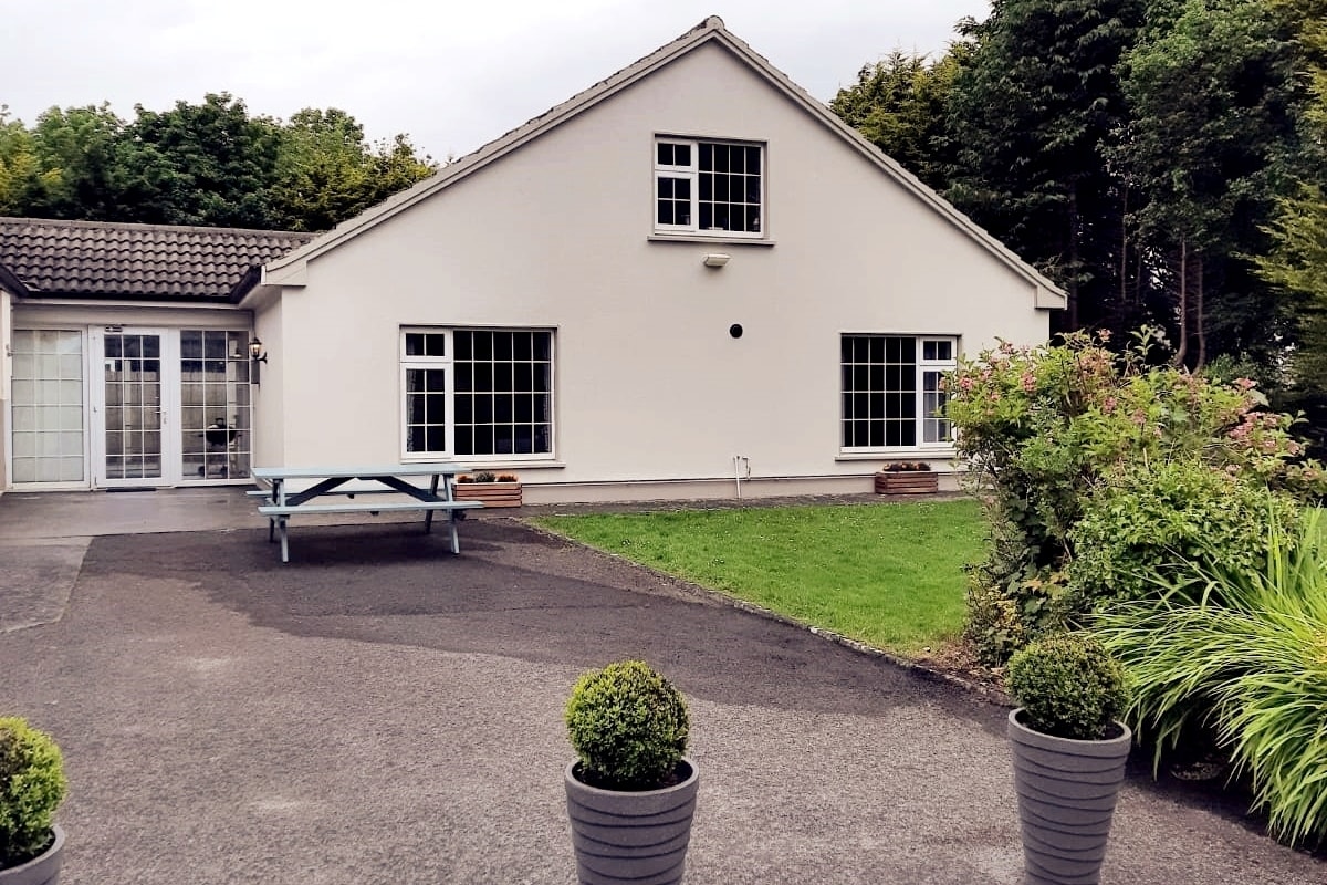 Enclosure in LissyconorEnclosure · 857 yd
 Quarry in CastleQuarry · 1371 yd
 Castle in ruinsCastle, unclassified · 1591 yd
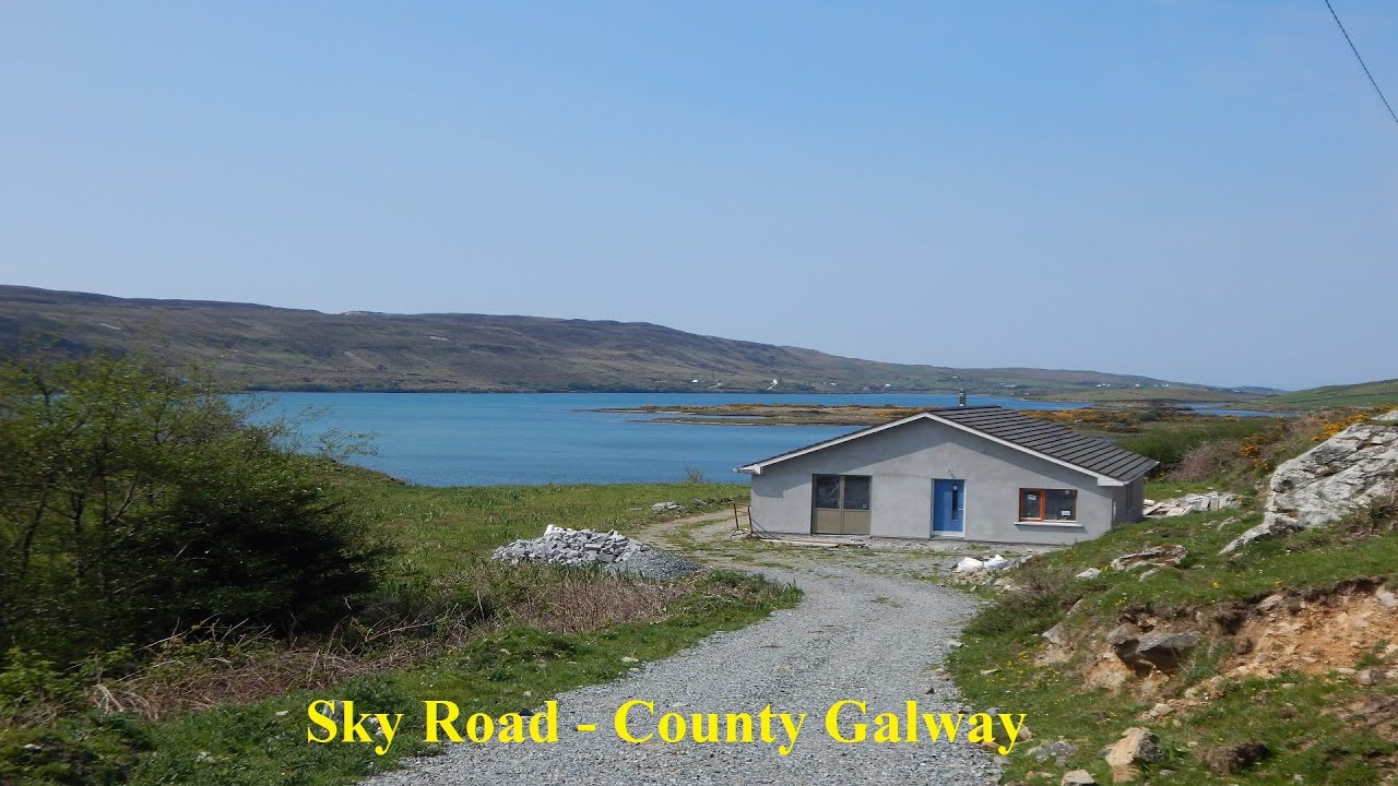 LissabrollaunFairy fort / earthen ringfort · 1675 yd
 Slieve DartMountain / peak · 2.4 mi
 Dunmore CastleCastle · 3.8 mi
 Site of Killomaine Grave YardArchaeological place · 9.1 mi
 European ashEuropean ash · 12 mi
 Catholic Church of Christ the Kingchurch/chapel · 1655 yd
 Lacka Valeahaubar Br.Bridge · 1.0 mi
 Enclosure in KiltivnaEnclosure · 1.1 mi