What is recorded here
Knockaneroe held a single-ramparted fort on P. Murphy's land before leveling erased its exact shape. Bowman recorded the loss in 1934, preserving only that a boundary once stood where soil and memory now blend. The disappearance is typical: small enclosures vanish across generations, not through cruelty but through forgetting. What remains is the fact that someone shaped that land, resisted the wilderness, and believed the boundary would outlive them. It did not. The earth took back what it had lent.
Bowman (1934, 497) recorded levelled, single-ramparted, fort on P. Murphy's land. Exact location not known.
The above description is derived from the published 'Archaeological Inventory of County Cork. Volume 4: North Cork' (Dublin: Stationery Office, 2000). In certain instances the entries have been revised and updated in the light of recent research.
Date of upload/revision: 14 January 2009
The monument record does not grant public access. Check the route and ask the landowner before entering private land.
- What survives
- Recorded monument
Places near here
 Burial GdBurial ground · 530 yd
 IndicatedHouse, vernacular house · 718 yd
 Childrens Burial GdBurial ground · 1028 yd
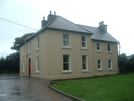 Ardrahan Househouse · 1342 yd
 CastleCastle, unclassified · 2.0 mi
 Castle (Site of)Bawn · 2.1 mi
 Kanturk CastleHeritage attraction · 2.8 mi
 Hanna SheehyMemorial · 2.9 mi
 Battle of Knocknaclashybattle · 3.6 mi
 St Fursey's WellSpring · 4.5 mi
 Stanner's Glen, Priory WoodWood · 4.5 mi
 Rathcool WoodWood · 4.9 mi