
What is recorded here
In level pasture, with forestry to E and tillage to S, N and W. Sub-oval area (dims. 54m N-S; 33m E-W) defined by remains of scarp (Wth 3.5m; H 0.3m) SW-NE and levelled NE-SW. Fosse (overall Wth 6.7m; basal Wth 2.75m; D 0.3m) WSW-NE. Monument defined by trackway (long axis N-S) to E and field boundary SE-NE. Interior is generally level and poached by cattle. Gentle C-shaped depression (dims. 9m N-S; 8m E-W) open to E, is within centre.
Compiled by: Jean Farrelly
Date of upload: 26 August 2011
The monument record does not grant public access. Check the route and ask the landowner before entering private land.
- What survives
- Recorded monument
Places near here
 Habitation site in BoscabellHabitation site · 987 yd
 Enclosure in Hughes'-Lot EastEnclosure · 1381 yd
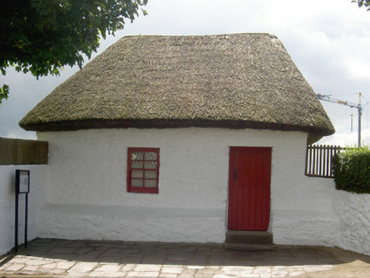 Bothán Scóirhouse · 1685 yd
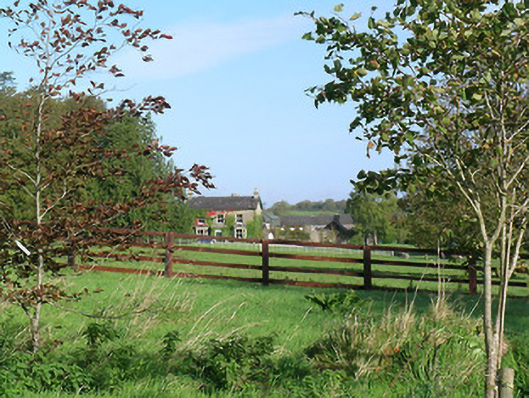 Mayfield Househouse · 1.0 mi
 CastleCastle, ringwork and bailey · 1.1 mi
 Cashel Folk MusuemMuseum · 1.3 mi
 Ballyknock HillMountain / peak · 1.3 mi
 Black mulberryBlack mulberry · 1.3 mi
 The Rock Of CashelVisitor information · 1.4 mi
 Cormac's ChapelHeritage attraction · 1.4 mi
 Meldrum Castle (ruins)Castle · 1.6 mi
 Dundrum Woods (Marl Bog)Forest · 8.9 mi
Other information
Photo: Credit not shown in the picture search · Rights wording not checked; contact us if this picture should be removed