
What is recorded here
On fairly flat terrain which slopes slightly to E, in rough pasture. Oval area (diam. 66m N-S; 59m E-W) the W half of which is enclosed by earthen field bank (Wth 1.2m; int. H 0.43m; ext. H 0.7m) with stone revetting on the external face. The E half of the enclosure has been levelled, however, the edge is delimited by a low scarp (H 0.42m) and slight outer fosse (Wth 2.6m; D 0.17m). The ground level rises in the interior.
Compiled by: Jean Farrelly
Date of upload: 19 November 2013
A local fairy fort (ringfort/rath); wider significance not recorded.
The monument record does not grant public access. Check the route and ask the landowner before entering private land.
- What survives
- Recorded monument
Places near here
 RaheenArchaeological place · 516 yd
 Enclosure in Parkaderreen (shanrahan Par.)Enclosure · 1446 yd
 Knockane Castle ruinsCastle · 1609 yd
 Ballysheehan Househouse · 1.2 mi
 Catholic Church of Our Lady and Saint Kieranchurch/chapel · 1.4 mi
 IndicatedBawn · 1.5 mi
 Rehill WoodForest · 2.0 mi
 Sweet ChestnutSweet Chestnut · 2.0 mi
 Mitchelstown CaveCave · 4.4 mi
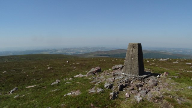 KnockshanahullionMountain / peak · 4.5 mi
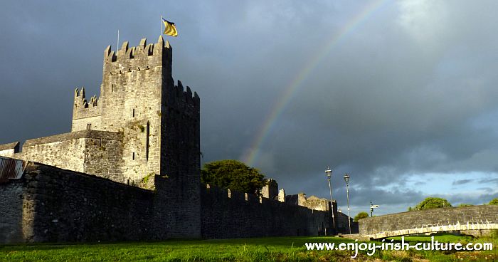 MonaminaneMountain / peak · 4.6 mi
 The VeeViewpoint · 4.6 mi
Other information
Photo: Credit not shown in the picture search · Rights wording not checked; contact us if this picture should be removed