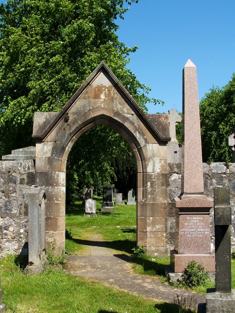
What is recorded here
The following description is derived from both the published 'Archaeological Inventory of County Louth' (Dublin: Stationery Office, 1986) and the 'Archaeological Survey of County Louth' (Dublin: Stationery Office, 1991). In certain instances the entries have been revised and updated in the light of recent research.
Date of upload/revision: 17 July 2007
Marked as 'fort' on 1835 ed. of OS six-inch sheet. No visible surface trace.
The monument record does not grant public access. Check the route and ask the landowner before entering private land.
- What survives
- Recorded monument
Places near here
 St. Patricks WellHoly well · 158 yd
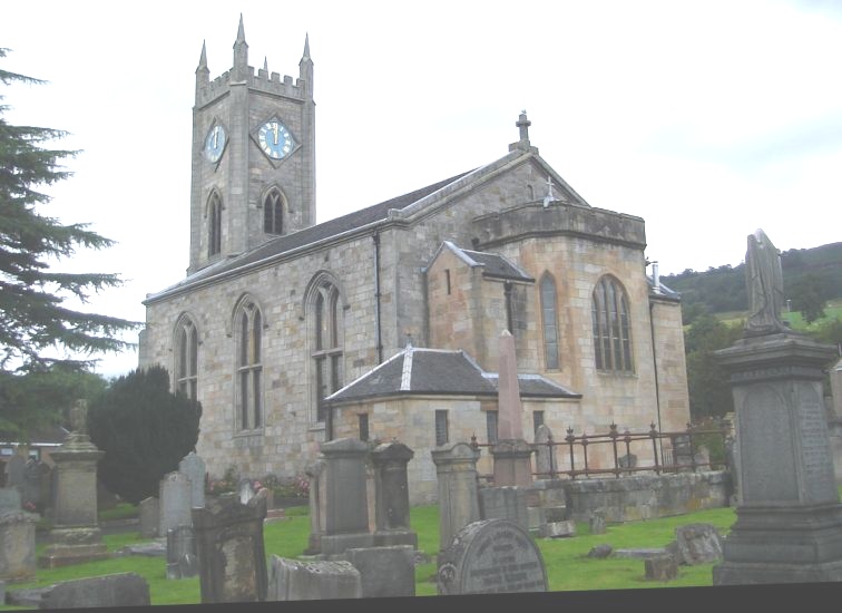 Church in KilpatrickChurch · 331 yd
 Kilpatrick Church (Site of)Church · 495 yd
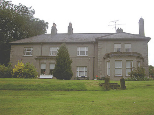 Kilpatrick Housecountry house · 540 yd
 CastleCastle, unclassified · 1543 yd
 Valley WoodWood · 1663 yd
 Screedoge HillMountain / peak · 1.6 mi
 European White ElmEuropean White Elm · 1.9 mi
 Dawsons MoatCastle, motte and bailey · 2.2 mi
 Sir Frederick Foster MemorialMemorial · 2.2 mi
 Graveyard in StickillinGraveyard · 2.7 mi
 Mount OrielMountain / peak · 2.9 mi
Other information
Photo: Credit not shown in the picture search · Rights wording not checked; contact us if this picture should be removed