What is recorded here
In undulating pasture, on N shoulder of low hill. Oval area (48m N-S; 31.7m E-W) defined by scarped edge (H 2m; Wth 2.5m), with external fosse (D 0.4m; Wth 1.6m) W->NE. Field boundaries abut enclosure at W and NE. Level interior under pasture.
From the National Monuments Service (Archaeological Survey of Ireland) record LI038-040
The monument record does not grant public access. Check the route and ask the landowner before entering private land.
- What survives
- Recorded monument
Places near here
Photo credits
- National Inventory of Architectural Heritage
- Garry Dickinson, Geograph · CC BY-SA 2.0
- Colin Park, Geograph · CC BY-SA 2.0
- Willow, Wikimedia Commons · CC BY 2.5
- SteveODowd, Wikimedia Commons · CC BY-SA 4.0
- JohnArmagh, Wikimedia Commons · Public domain
Enclosure in CoolrusEnclosure · 1056 ydEnclosure in KingslandEnclosure · 1227 yd bridge1400 ydKilmore HouseCountry house · 1652 ydCastle (in ruins)Castle, unclassified · 1.9 miCastle IeversCastle, unclassified · 3.2 miKnockfeerinaMountain / peak · 3.6 miEuropean ash3.9 miFamine stoneMemorial · 4.2 miKinnoor WellSpring · 4.3 miDysert AenghusaHeritage attraction · 4.5 miMonasteranenagh AbbeyHeritage attraction · 4.9 mi
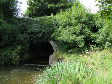 bridge1400 yd
 Kilmore HouseCountry house · 1652 ydCastle (in ruins)Castle, unclassified · 1.9 mi
 Castle IeversCastle, unclassified · 3.2 mi
 KnockfeerinaMountain / peak · 3.6 mi
 European ash3.9 miFamine stoneMemorial · 4.2 miKinnoor WellSpring · 4.3 mi
 Dysert AenghusaHeritage attraction · 4.5 mi
 Monasteranenagh AbbeyHeritage attraction · 4.9 mi
More archaeology and monuments in County Limerick · All of County Limerick
What do you know about this place?