
What is recorded here
In a field of relict cultivation ridges on an ESE-facing slope, just above a small disused quarry. A small rectangular area (15m NW-SE; 13m NE-SW) is defined by a regular, well-preserved bank of earth and stone (int H 0.6m; ext H 1.2m) with an entrance gap (Wth 1m) in NE side, and by a shallow outer fosse (Wth 1m). The interior is slightly raised above surrounding ground level.
Compiled by: Gearóid Conroy
Date of upload: 24 July 2012
The monument record does not grant public access. Check the route and ask the landowner before entering private land.
- What survives
- Recorded monument
Places near here
 Cross in KilmalumCross · 315 yd
 Enclosure in NewtownparkEnclosure · 1428 yd
 Deer Park PlantationForest · 1.1 mi
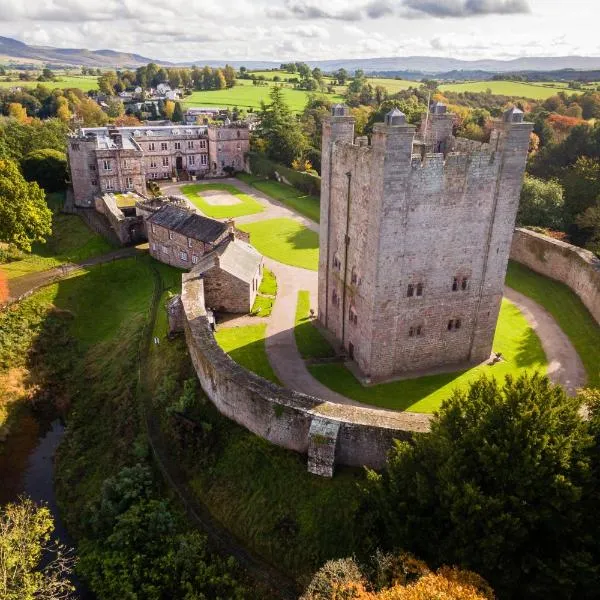 CastleCastle, ringwork · 1.2 mi
 Blessington DemesneWood · 1.3 mi
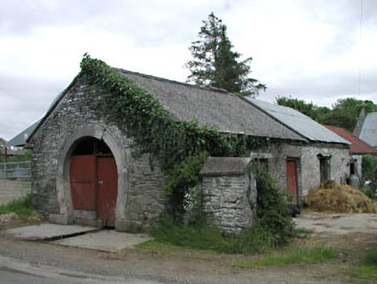 forge/smithyforge/smithy · 1.3 mi
 Councillor Jim MileyMemorial · 1.3 mi
 Proclamation of the Irish RepublicMemorial · 1.3 mi
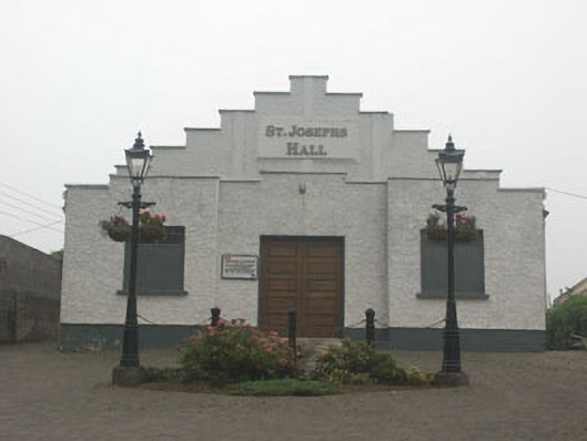 Saint Joesph's Hallchurch hall/parish hall · 1.4 mi
 Castle (in ruins)Castle, tower house · 1.5 mi
 Artisans WorkshopsHeritage attraction · 1.8 mi
 National Bird of Prey CentreHeritage attraction · 1.8 mi
Other information
Photo: Credit not shown in the picture search · Rights wording not checked; contact us if this picture should be removed