
What is recorded here
Further to a field inspection by the ASI in 1986 the following monument was identified as being of archaeological significance. It is located at the NW side of an area designated on the 1st edition OS 6-inch map as a deerpark, and bound by a stone wall, within the demesne associated with Killynan House and castle (WM020-003----). The monument is situated on a natural ridge and comprises a D-shaped enclosure (58m E-W; 24m N-S) with straight N side (L c. 68m), raised above the surrounding ground level and bound by a low bank. The enclosing bank is denuded along the S edge of the monument from SW to SE. A hut site (WM020-146----), defined by a low stony bank adjoins the enclosure midway along the N bank with the enclosure bank forming one edge of the hut site. There is a possible entrance to the hut site at N. This monument was included in the Register of Historic Monuments in 1987 being listed as Enclosure and Hut Site.
Compiled by : Margaret Keane
Date of upload: 22 March 2016
A local fairy fort (ringfort/rath); wider significance not recorded.
The monument record does not grant public access. Check the route and ask the landowner before entering private land.
- What survives
- Recorded monument
Places near here
 Partially hachuredFairy fort / ringfort · 291 yd
 Killynan Housefarmyard complex · 546 yd
 Clondrisse Houseoutbuilding · 748 yd
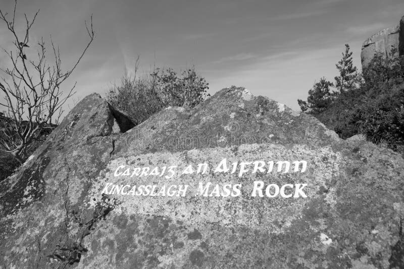 Mass-rock in TevrinMass-rock · 1029 yd
 CastleCastle, ringwork · 1.5 mi
 OutlinedCastle, unclassified · 1.7 mi
 GinkgoGinkgo · 2.1 mi
 Long PlantingForest · 4.9 mi
 KnockeyonMountain / peak · 5.5 mi
 Kells HillMountain / peak · 9.6 mi
 Croppies' GraveMemorial · 12 mi
 Chapel in ruinsChapel · 1309 yd
Other information
Photo: Credit not shown in the picture search · Rights wording not checked; contact us if this picture should be removed