What is recorded here
The precise location of Killynan Castle has not been identified. The castle is depicted on the 1655-9 Down Survey map of Rathconnell parish (NLI, MS 723-4). The castle is not depicted on any edition of the OS 6-inch maps. Killynan House was visited in 1983 and no fabric of any medieval castle was identified in the house or in the farmyard belonging to the house.
Compiled by: Caimin O'Brien
Date of upload: 6 October 2016
The monument record does not grant public access. Check the route and ask the landowner before entering private land.
- What survives
- Recorded monument
Places near here
 Enclosure in Killynan (pratt)Enclosure · 488 yd
 Partially hachuredFairy fort / ringfort · 498 yd
 Clondrisse Houseoutbuilding · 771 yd
 Chapel in ruinsChapel · 948 yd
 CastleCastle, ringwork · 1.4 mi
 OutlinedCastle, unclassified · 1.5 mi
 GinkgoGinkgo · 1.9 mi
 KnockeyonMountain / peak · 5.6 mi
 The FurzeForest · 6.6 mi
 Kells HillMountain / peak · 9.5 mi
 Croppies' GraveMemorial · 12 mi
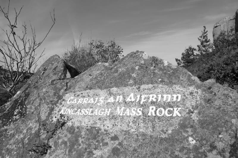 Mass-rock in TevrinMass-rock · 738 yd