What is recorded here
Not visible at ground level. Hachured as large circular enclosure on 1912 edition of OS 6-inch map.
From the National Monuments Service (Archaeological Survey of Ireland) record OF024-028
The monument record does not grant public access. Check the route and ask the landowner before entering private land.
- What survives
- Recorded monument
Places near here
Photo credits
- National Inventory of Architectural Heritage
- Oliver Dixon, Wikimedia Commons · CC BY-SA 2.0
- MPF, Wikimedia Commons · CC BY 2.5
- Kieran Campbell, Wikimedia Commons · CC BY-SA 2.0
Killooley CastleCastle · 272 ydCairnCairn, wayside cairn · 1119 ydPartially hachuredMound · 1308 ydLowerton HillMountain / peak · 1.2 miTroy's Island or DerryheeraghMountain / peak · 1.3 miThe Offaly WayWalking route · 1.7 mi Saint Brigid's Catholic ChurchChurch/chapel · 1.7 miBallyoran HouseHouse · 2.0 miGraveyard in Ballyboy (ballyboy By.)Graveyard · 2.5 miLough Boora Sculpture ParkMuseum · 2.9 miWild Cherry5.6 miBallycowan CastleCastle · 6.7 mi
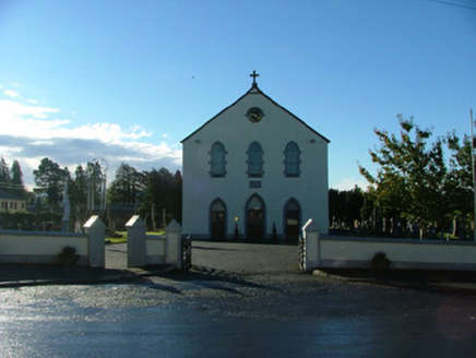 Saint Brigid's Catholic ChurchChurch/chapel · 1.7 mi
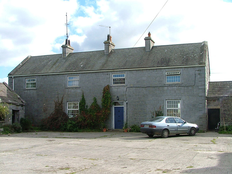 Ballyoran HouseHouse · 2.0 miGraveyard in Ballyboy (ballyboy By.)Graveyard · 2.5 mi
 Lough Boora Sculpture ParkMuseum · 2.9 mi
 Wild Cherry5.6 mi
 Ballycowan CastleCastle · 6.7 mi
More archaeology and monuments in County Offaly · All of County Offaly
What do you know about this place?