What is recorded here
Today there are no surface remains visible of possible 16th-century tower house (OF024-026001-) (ITA Survey 1942; Shaw 1971, 61-2; Loeber 1988, vol. 3, 36-7). The 1838 ed. of the OS 6-inch map shows Garbally Castle standing on top of a mound which is hachured and this mound is partially indicated on the revised 1908 ed. of the OS 6-inch map. The castle site and this mound was described in 1942 as being situated 'on a low slightly isolated ridge in open undulating country, beside a hollow which may have contained water. A lone pear-shaped artificial mound, 54 [48.6m] x 20 [18m] yds. 8 feet [2.4m] high at SW and sloping down to 3 feet [0.9m] on NE. On it are a few foundations of mortared walls, with one corner; but much has probably been dug away, and no plan can be made. In the adjoining cottage are a good many squared stones probably from the castle and a side jamb of an unglased window with barholes, 29 inches [0.73m] between transomes of section. Perhaps XVIth century' (ITA Survey 1942). In 1974 the castle site was described by the Offaly Historical and Archaeological Society as, 'the remains of this slight mound of loose stone have now been removed' (OHAS file 1974).
Today there are no surface remains visible of possible 16th-century tower house (OF024-026001-) (ITA Survey 1942; Shaw 1971, 61-2; Loeber 1988, vol. 3, 36-7). The 1838 ed. of the OS 6-inch map shows Garbally Castle standing on top of a mound which is hachured and this mound is partially indicated on the revised 1908 ed. of the OS 6-inch map. The castle site and this mound was described in 1942 as being situated…
From the National Monuments Service (Archaeological Survey of Ireland) record OF024-026002
The monument record does not grant public access. Check the route and ask the landowner before entering private land.
- What survives
- Recorded monument
Places near here
Garbally Castle in RuinsCastle, unclassified · 13 ydEnclosure in Garbally (ballyboy By.)Enclosure · 146 ydLowerton HillMountain / peak · 1106 yd Saint Brigid's Catholic ChurchChurch/chapel · 1.7 miTroy's Island or DerryheeraghMountain / peak · 1.8 miGraveyard in PallasGraveyard · 2.0 miRathrobinCountry house · 2.3 miLough Boora Sculpture ParkMuseum · 3.2 miHawthorn4.9 miEuropean Yew4.9 miBallycowan CastleCastle · 5.9 miGraveyard6.4 mi
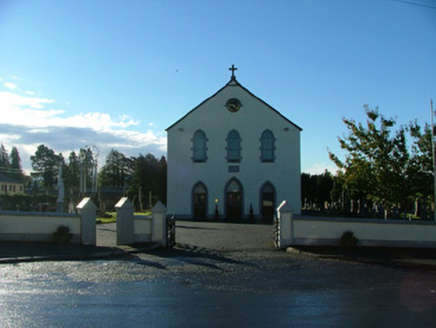 Saint Brigid's Catholic ChurchChurch/chapel · 1.7 miTroy's Island or DerryheeraghMountain / peak · 1.8 miGraveyard in PallasGraveyard · 2.0 mi
 RathrobinCountry house · 2.3 mi
 Lough Boora Sculpture ParkMuseum · 3.2 mi
 Hawthorn4.9 mi
 European Yew4.9 mi
 Ballycowan CastleCastle · 5.9 mi
 Graveyard6.4 mi
Pictures: National Inventory of Architectural Heritage; Mike Searle, Geograph · CC BY-SA 2.0; Oliver Dixon, Wikimedia Commons · CC BY-SA 2.0; Didier Descouens, Wikimedia Commons · CC BY-SA 4.0; Sitomon, Wikimedia Commons · CC BY-SA 2.0; Kieran Campbell, Wikimedia Commons · CC BY-SA 2.0; Kieran Campbell, Geograph · Creative Commons Attribution-ShareAlike 2.0
More archaeology and monuments in County Offaly · All of County Offaly
What do you know about this place?