What is recorded here
Located on a steep N-facing slope above Tallaght village. The 1843 OS 6-inch map shows a fort (diam. c. 24m). Not visible at ground level.
From the National Monuments Service (Archaeological Survey of Ireland) record DU021-059
The monument record does not grant public access. Check the route and ask the landowner before entering private land.
- What survives
- Recorded monument
Places near here
Photo credits
- National Inventory of Architectural Heritage
- 瑞丽江的河水, Wikimedia Commons · CC BY-SA 4.0
Mound in KillinardanMound · 183 ydGraveyard in BallymanaGraveyard · 616 yd Marlfield HouseFarm house · 812 ydKiltalown HouseCountry house · 1235 ydSean Walsh ParkVisitor information · 1.2 miSpringfieldNamed rock · 1.3 miCastleCastle, unclassified · 1.3 mitallaght crossVisitor information · 1.5 miKnackannaveaMountain / peak · 1.5 miWaterfall viewing pointHeritage attraction · 1.6 miSlievenabawnogeMountain / peak · 1.8 miFont in TallaghtFont · 1.8 mi
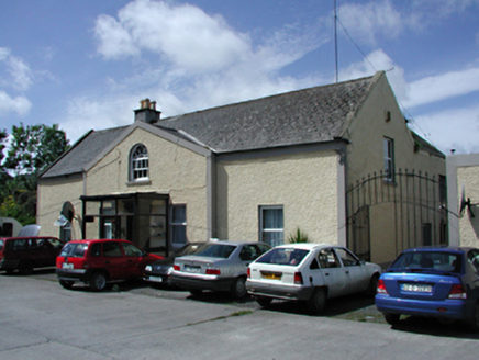 Marlfield HouseFarm house · 812 yd
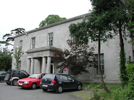 Kiltalown HouseCountry house · 1235 ydSean Walsh ParkVisitor information · 1.2 miSpringfieldNamed rock · 1.3 miCastleCastle, unclassified · 1.3 mitallaght crossVisitor information · 1.5 miKnackannaveaMountain / peak · 1.5 miWaterfall viewing pointHeritage attraction · 1.6 miSlievenabawnogeMountain / peak · 1.8 mi
 Font in TallaghtFont · 1.8 mi
More archaeology and monuments in County Dublin · All of County Dublin
What do you know about this place?