
Places near here
Photo credits
- Kmcnamee, Wikimedia Commons · CC BY-SA 4.0
- Bernard, Geograph · CC BY-SA 2.0
- Podstawko, Wikimedia Commons · CC BY 4.0
- Nigel Cox, Wikimedia Commons · CC BY-SA 2.0
- Golfing in Ireland; photographer not stated, Source publisher
Explorer Tom Children's burial ground in Killarida was on the map until 1939, and someone once wrote a bad poem about it that rhymed…
Dysert Church (in ruins)Church · 1566 ydExplorer Tom Dysert Church has a name that actually means 'The Place Where You Definitely Forgot Your Wallet', which is just my…
Bohergarraunbaun Dotted outlineRoad, unclassified togher · 1.5 miExplorer Tom Bohergarraunbaun Dotted outline in Dysert Marshes has strict rules: no walking too fast or you’ll get lost. It’s…
 Jackie Finnerty Park, St. Senan'sGAA ground · 4.7 mi
 CrossCross, High cross · 6.4 mi
Explorer Tom This high cross ended up in the wrong place because someone thought 'across the road' was a valid relocation plan. Now…
 IllauntannigIslet · 20 mi
Explorer Tom A fiddler played on Illauntannig all night until his bow snapped and he fell asleep in the grass. He woke up convinced…
 IllaunimmilIslet · 21 mi
Explorer Tom Locals swear that if you wink at Illaunimmil, it will blink back, proving it’s watching you. I’m not sure if it’s magic…
CastleCastle, unclassified · 22 miExplorer Tom Castle in Garrywilliam has a secret underground tunnel that nobody can find anymore. The weather has a long grudge…
An CaipínNamed rock · 22 miExplorer Tom An Caipín is a rock that thinks rabbits are actually tiny, furry lawyers who sue it for emotional damage whenever they…
Garrywilliam PointHeadland · 22 miExplorer Tom Garrywilliam Point is where a fiddler played so well all night long that the birds came down to listen, but then he…
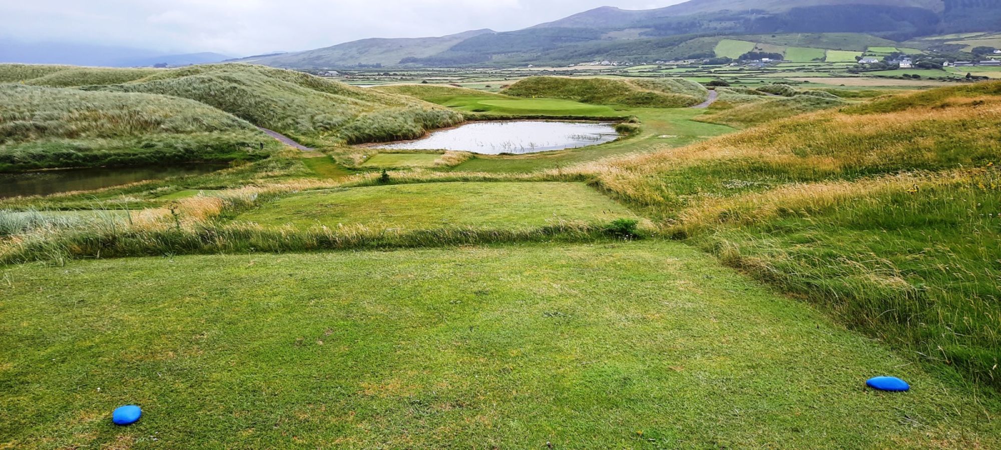 Castlegregory Golf ClubGolf course · 24 miDromavally MountainMountain / peak · 26 mi
Explorer Tom Dromavally Mountain has a family tree so messy it could only be invented by a drunk uncle at a wedding, full of…
More archaeology and monuments in County Kerry · All of County Kerry

What do you know about this place?Tap to add a comment or ask a question