What is recorded here
A D-shaped enclosure (c. 23m x 16m) defined by a low bank and a fosse, in the SE quadrant of a ringfort (WI027-014----).
From the National Monuments Service (Archaeological Survey of Ireland) record WI027-014002
Places near here
Picture notes
- Computer-made picture. It does not show this monument.
- National Inventory of Architectural Heritage
- Computer-made picture. It does not show this mountain top.
- Trevor Littlewood, Wikimedia Commons · CC BY-SA 2.0
- Computer-made picture. It does not show this playground.
 Fairy fort / earthen ringfort in KillFairy fort / earthen ringfort · 29 ydComputer-made picture
 Hut site in KillHut site · 42 ydComputer-made picture
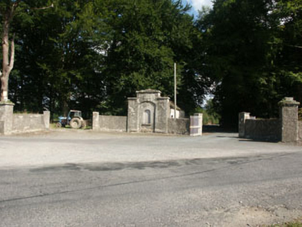 Kilranelagh HouseGate lodge · 1514 yd
 Spinans HillMountain / peak · 1.2 miComputer-made pictureSaint Brigit's Mass StoneNamed rock · 1.3 miSaint Brigit's ChairNamed rock · 1.4 mi
 Baltinglass HillMountain / peak · 1.4 miComputer-made pictureBawn in Ballintruer BegBawn · 1.5 mi
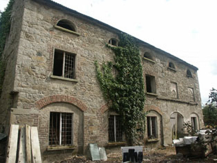 mill (water)1.5 mi
 Kilranelagh GraveyardGraveyard · 1.6 miSam McAllistair GraveMemorial · 1.6 mi
 Children's playground2.6 miComputer-made picture
More archaeology and monuments in County Wicklow · All of County Wicklow

What do you know about this place?Tap to add a comment or ask a question