What is recorded here
In tillage. A roughly circular enclosure (diam. c. 35), defined by a fosse which is visible as a cropmark on satellite imagery (Apple Maps), identified and reported by Jean-Charles Caillère. A field boundary runs E-W immediately N of the enclosure.
See attached imagery:
KK027-094----_01 Apple Maps satellite imagery
Compiled by: Jean Farrelly
Date of upload: 27 June 2023
The monument record does not grant public access. Check the route and ask the landowner before entering private land.
- What survives
- Recorded monument
Places near here
 Enclosure in LawcusEnclosure · 811 yd
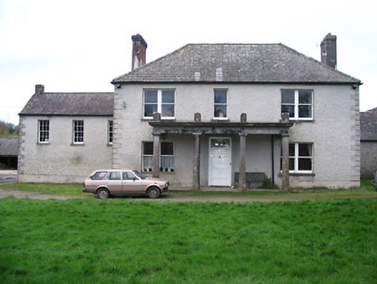 Kellsborough Househouse · 979 yd
 Enclosure in Rathduff LowerEnclosure · 1032 yd
 Coortaur Castle (in ruins)Castle, unclassified · 1056 yd
 bridgebridge · 1341 yd
 Prior's TowerCastle · 1517 yd
 Kells Augustinian PrioryHeritage attraction · 1634 yd
 RIC BarracksMemorial · 1716 yd
 Kells Loop WalkWalking route · 1736 yd
 Petty Sessions Courthouse 1839Memorial · 1.0 mi
 Kells Priory Mill MuseumMuseum · 1.0 mi
 Lacken WellSpring · 1.3 mi