What is recorded here
Garrynamann Upper holds a broad earthen ring where human hands shaped soil into a boundary centuries before survey wheels rolled past. The road still cuts north of the circle, and trees clutch the rim, giving the fort the appearance of a room abandoned rather than a ruin broken open. It is easy to imagine people moving through that doorway with milk, butter, children or fear, because the shape still asks to be entered.
A roughly circular enclosure (int. diam. c. 47m; overall diam. c. 80m) depicted on the 1st (1839) ed. OS 6-inch map and on the 1948 revision. A road runs roughly E-W immediately N of the enclosure. There are trees growing around the perimeter of the monument.
Compiled by: Jean Farrelly
Date of upload: 4 July 2022
The monument record does not grant public access. Check the route and ask the landowner before entering private land.
- What survives
- Recorded monument
Places near here
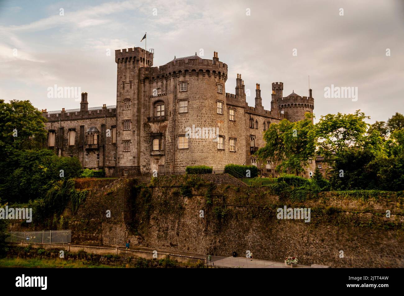 Concentric enclosure in Burnchurch ViperConcentric enclosure · 1421 yd
 Ballyda Holy WellSpring · 1478 yd
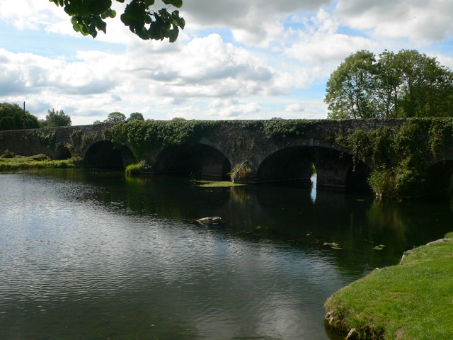 Kells Bridgebridge · 1606 yd
 Kells Br.Bridge · 1611 yd
 Kells Priory Mill MuseumMuseum · 1615 yd
 Lacken WellSpring · 1625 yd
 CastleCastle, unclassified · 1721 yd
 Ladys WellHoly well · 1.1 mi
 Kells Loop WalkWalking route · 1.1 mi
 Famous Horses of KellsMemorial · 1.1 mi
 Prior's TowerCastle · 1.1 mi
 Kells Augustinian PrioryHeritage attraction · 1.2 mi