What is recorded here
Outline of circular-shaped enclosure (approx. diam. 44m) visible on Google earth aerial imagery and Digital Globe aerial photos. See attached image taken from Google Earth aerial photographs taken 18/03/2009
Compiled by: Caimin O'Brien based on details provided by Jean-Charles Caillère
Date of upload: 6 March 2020
From the National Monuments Service (Archaeological Survey of Ireland) record LF027-062
The monument record does not grant public access. Check the route and ask the landowner before entering private land.
- What survives
- Recorded monument
Places near here
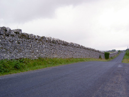 demesne walls/gates/railings313 yd
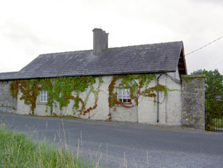 Deerpark LodgeGate lodge · 478 ydBurial in Creevagh BegBurial · 1148 ydIndicatedFairy fort / earthen ringfort · 1445 yd
 European Beech1.1 miNoughaval CemeteryArchaeological place · 1.5 miBallymulvey HouseCastle, unclassified · 1.6 miTarget WoodWood · 2.1 miCastleCastle, motte · 2.2 miNewcastle WoodsForest · 2.2 miGuest ServicesVisitor information · 2.3 miCraft WorkshopHeritage attraction · 2.3 mi
Pictures: National Inventory of Architectural Heritage; Malene Thyssen, Wikimedia Commons · CC BY-SA 3.0
More archaeology and monuments in County Longford · All of County Longford
What do you know about this place?