What is recorded here
Partially in a farmyard, in rolling grassland. The Grange River flows E and SE c. 90-100m to the N-NE. There are good views in all directions across the Nore river valley. Identified as a roughly oval enclosure (dims. c. 30m E-W), the N half (dims. c. 20m NW-SE) of which is visible as a cropmark on an aerial photograph (GSI roll 42, print 21). The enclosure is truncated by a field boundary running NE-SW. The S half of the enclosure is not visible on the aerial photograph. A farm building has subsequently been built on the S half (visible on Digitalglobe satellite imagery, viewed 31 January 2018). The N half is not visible at ground level.
Compiled by: Jean Farrelly
Date of upload: 31 January 2018
The monument record does not grant public access. Check the route and ask the landowner before entering private land.
- What survives
- Recorded monument
Places near here
 EnclosureEnclosure, large enclosure · 259 yd
 Enclosure in Grange (fassadinin By.)Enclosure · 1118 yd
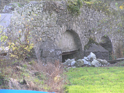 Grange Bridgebridge · 1540 yd
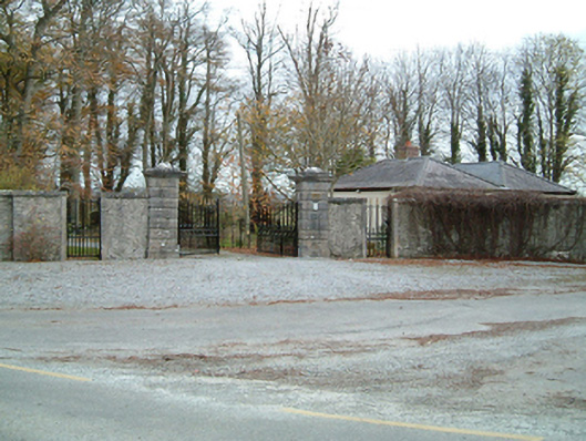 Grange Housegates/railings/walls · 1564 yd
 CastleCastle, unclassified · 1.5 mi
 Anker's IslandIsland · 2.5 mi
 Freshford LoopWalking route · 3.8 mi
 The PondsForest · 3.9 mi
 Brown's WoodWood · 4.4 mi
 DelaneyMemorial · 8.0 mi
 Cnoc SeanrathaMemorial · 9.4 mi